1904 Fire Insurance Maps and Atlas of Augusta, Georgia
1904 Fire Insurance Maps and Atlas of Augusta, Georgia
Couldn't load pickup availability
The complete 1904 Sanborn fire-insurance atlas of Augusta, Georgia, reprinted in full color.
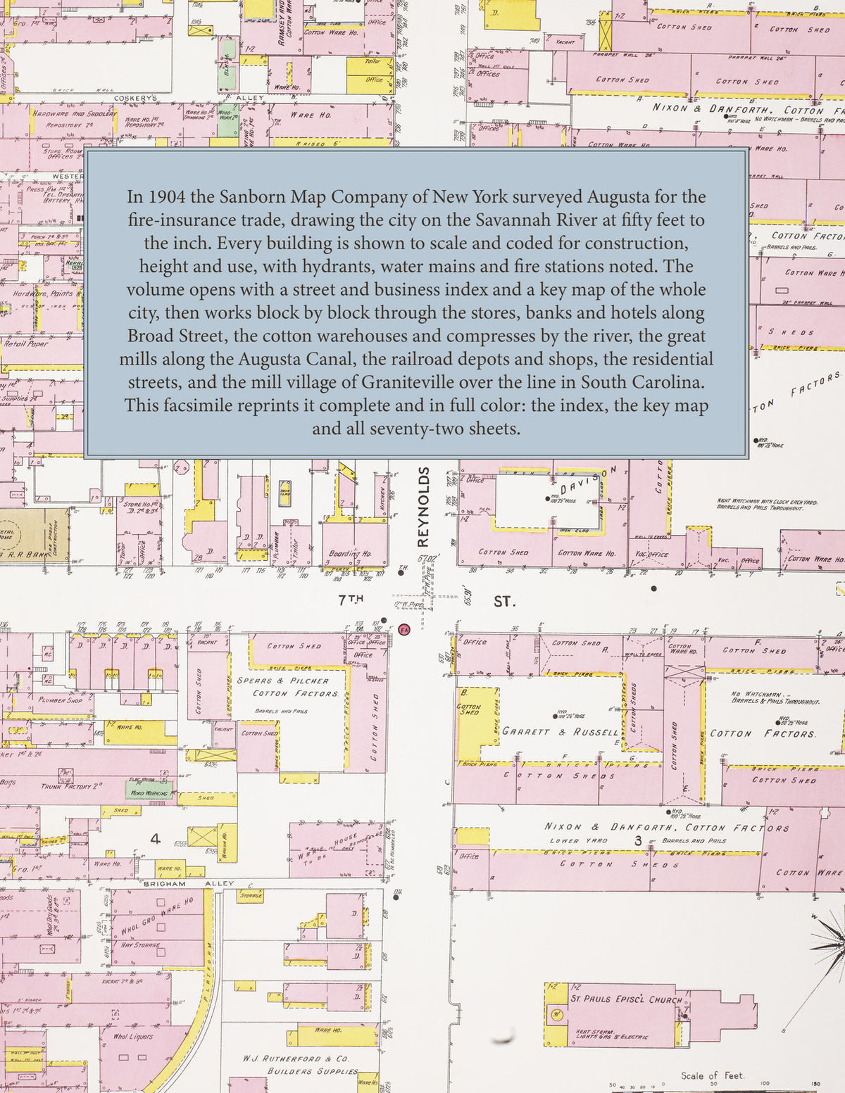
In 1904 the Sanborn Map Company of New York surveyed Augusta for the fire-insurance trade, drawing the city on the Savannah River at fifty feet to the inch. Every building is shown to scale and color-coded for construction (yellow for frame, pink for brick, blue for stone), with heights, uses, windows, party walls, hydrants, water mains and fire stations all marked. The index lists every street and every named business, church, school, hotel, mill and compress with the sheet it appears on, and the key map places the colored sheet grid over the whole city, with notes on the water works and the fire department.
The seventy-two numbered sheets work block by block from the stores, banks and hotels along Broad Street, the cotton warehouses and compresses of the factors along Reynolds Street, the great cotton mills along the Augusta Canal, the depots and shops of the Georgia, Central and Southern railroads, the residential streets of the city, and the mill village of Graniteville over the line in South Carolina. Ten skeleton sheets showing the outline of the built-up blocks are bound with them.
This edition is an unabridged facsimile republication of the atlas: the title and index sheet, the key map, all seventy-two numbered map sheets and the ten skeleton sheets. Ideal for local historians, genealogists, architects, preservationists and anyone tracing an Augusta address back to 1904.
86 pages. 8.5" x 11". Full color. Paperback.
Printed to order and shipped directly to you — please allow up to 7 business days before shipment.
Satisfaction guaranteed or you can send it back!