ExileBooks
1906 Atlas of Union County, New Jersey
1906 Atlas of Union County, New Jersey
Couldn't load pickup availability
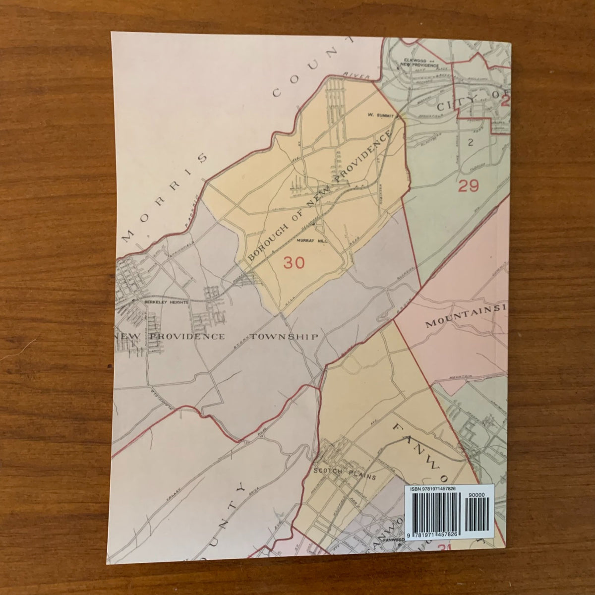
A color facsimile reprint of the Atlas of Union County, New Jersey, 1906, compiled from maps and data by Jacob L. Bauer, County Engineer, drawn from private plans, surveys, and official records, and published under the supervision of E. Robinson & Co. This historic atlas documents land ownership and the built-up streetscape of Union County in the early twentieth century, providing detailed property maps of its cities, boroughs, towns, and townships.
The atlas maps the communities of Union County across numbered plates, with the larger cities mapped in detail across multiple plates:
- Cities — Elizabeth (mapped ward by ward across plates 1–10), Plainfield, Rahway, and Summit
- Boroughs — Fanwood, Garwood, Linden, Mountainside, New Providence, North Plainfield, Roselle, and Roselle Park
- Town — Westfield
- Townships — Clark, Cranford, Fanwood, Linden, New Providence, Springfield, and Union
The atlas opens with a map of the City of Elizabeth and a map of Union County keyed to the atlas plates. Property plates show land areas, lot lines, and property owners' names at a detailed scale, making the atlas a street- and lot-level record of who owned what across the county in 1906.
This reprint is reproduced in full color from a digitized public-domain original. It is offered for genealogists and family-history researchers, house and property researchers, local and regional historians, map collectors, and anyone studying the development of Union County, New Jersey.
80 pages. 8.5" x 11". Full color. Paperback.
Satisfaction guaranteed or you can send it back!