ExileBooks
1906 Fire Insurance Maps and Atlas of Chicago, Illinois, Volume 1
1906 Fire Insurance Maps and Atlas of Chicago, Illinois, Volume 1
Couldn't load pickup availability
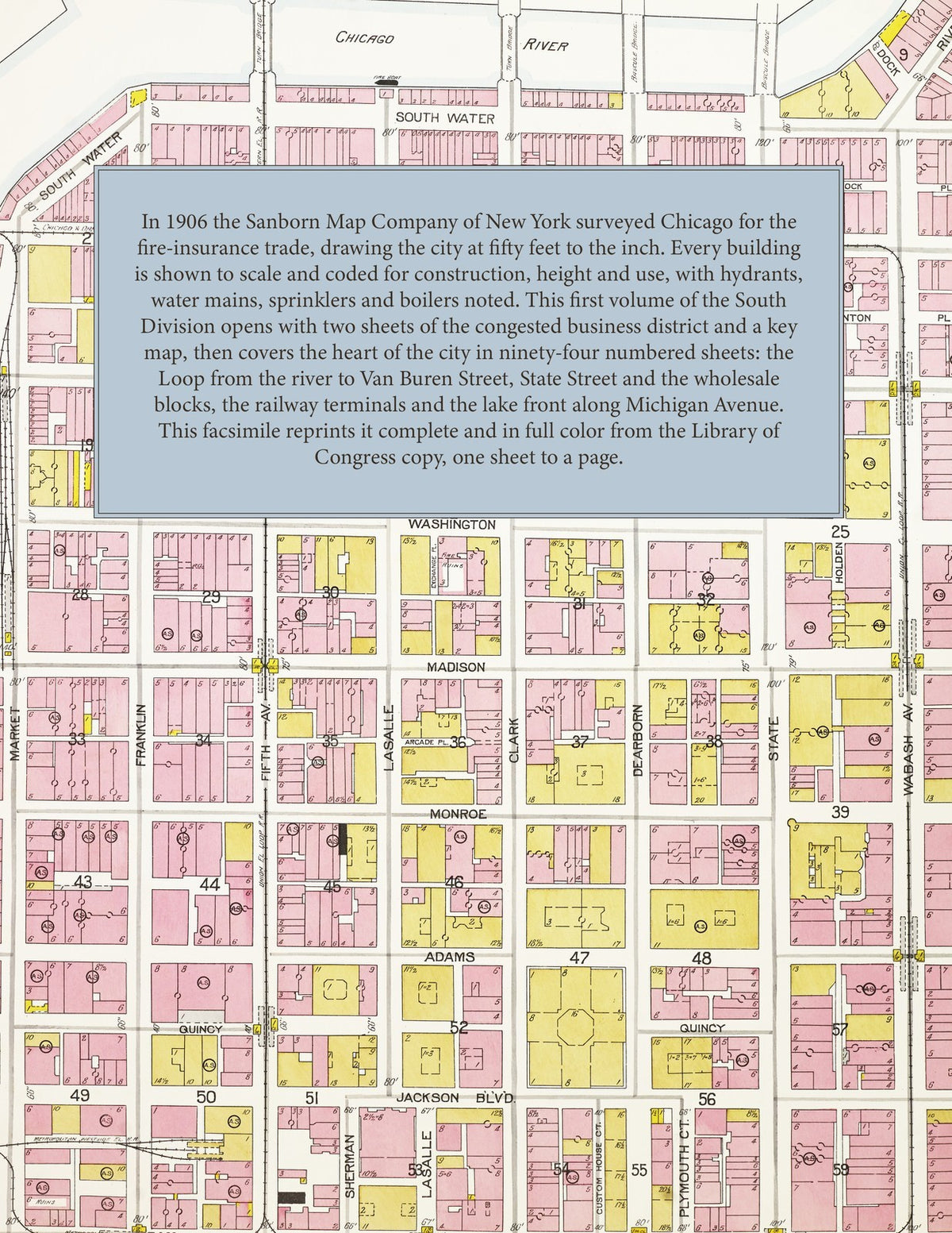
In 1906 the Sanborn Map Company of New York surveyed Chicago for the fire-insurance trade, drawing the city at fifty feet to the inch. Every building is shown to scale and color-coded for construction, with its height, use, occupant and hazards noted, alongside the hydrants, water mains, sprinkler systems and boilers that protected it. This first volume of the South Division covers the heart of the city: the Loop from the Chicago River south to Van Buren Street, State Street and the department stores, the wholesale and printing blocks along the river, the railway terminals, and the lake front along Michigan Avenue. Two congested-district sheets and a key map open the volume, followed by ninety-four numbered sheets.
This edition is an unabridged facsimile republication of Volume One, South Division, of the 1906 Chicago survey, reproduced complete and in full color from the copy held by the Geography and Map Division of the Library of Congress: the title page, the index, the congested-district sheets, the key map and all ninety-four numbered sheets, one to a page.
100 pages. 8.5" x 11". Full color. Paperback.
Printed to order and shipped directly to you — please allow up to 7 business days before shipment.
Satisfaction guaranteed or you can send it back!