1907-1924 Fire Insurance Maps and Atlas of Bridgeville, Pennsylvania
1907-1924 Fire Insurance Maps and Atlas of Bridgeville, Pennsylvania
Couldn't load pickup availability
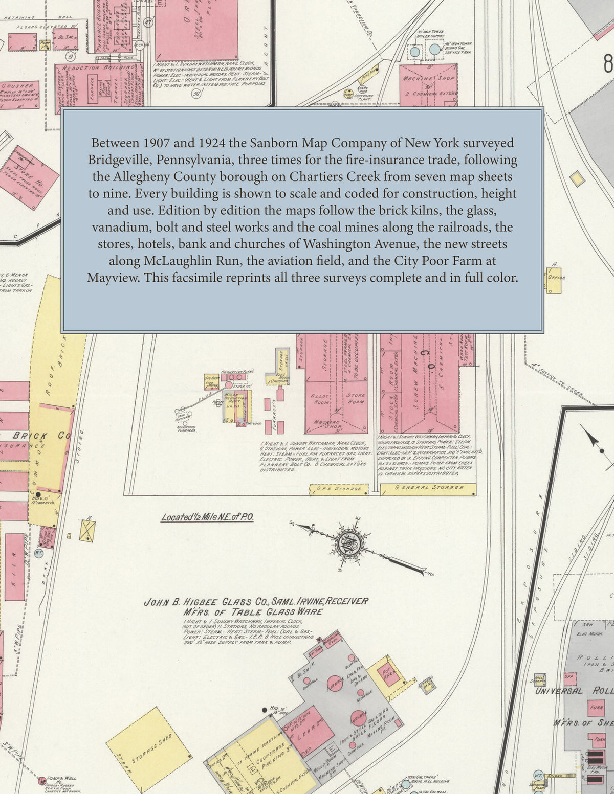
Facsimile of the three Sanborn fire-insurance surveys of Bridgeville, Pennsylvania, made between 1907 and 1924, reproduced in full color from the Library of Congress copies. Together they cover the Allegheny County borough on Chartiers Creek, from the brick, glass, vanadium and bolt works along the railroads through the stores, hotels and churches of Washington Avenue and Station Street to the houses along McLaughlin Run, Baldwin Street and Painters Run Road, with Bower Hill and, in 1924, the City of Pittsburgh City Poor Farm at Mayview.
In 1907 seven sheets show the C. P. Mayer Brick Co. kilns and sheds by the Wabash R. R., the J. B. Higbee Glass Co. factory, the American Vanadium Co. and the Flannery Bolt Co. by the P. R. R., C. P. Mayer's lumber and builders' supplies, the Bridgeville Lumber & Supply Co., Katie Mine No. 1, M. Macole's bottling works, J. F. Hosack's flour and feed store, the Otterman M'f'g Co., W. S. Reed's slaughter house, the Bridgeville, Central and Norwood hotels, the public school and the Presbyterian, Lutheran and Catholic churches. The eight sheets of 1913 add the Universal Rolling Mill Co., the Standard Steel Box Co., the Frederick-Elder Co. metal specialties works, C. B. Sossong & Co., the McClane Coal Co., the P. C. C. & St. L. R. R. depots, the post office, the L. O. O. M. building, the First Methodist Episcopal and Baptist churches and St. Agatha's Roman Catholic Church. The nine sheets of 1924 reach the Vanadium Corp'n of America, the Bridgeville Glass Division of the General Electric Co., the Universal Steel Co., J. B. Sire & Co.'s drying oils and paints works, the Pittsburgh Coal Co. mine and the Bridgeville mine coal tipple, the West Penn Power Co. transformer house, the Mayer Aviation Field and its aeroplane hangar, the P. R. R. and P. & W. Va. R. R. depots, the Municipal Building, the fire department, the First National Bank and Bridgeville Trust Co. buildings, the Order of Owls hall, a Buick service station, the Bower Hill public school, and the buildings of the City of Pittsburgh City Poor Farm at Mayview.
Between 1907 and 1924 the Sanborn Map Company of New York surveyed Bridgeville three times for the fire-insurance trade, drawing the town at fifty feet to the inch, with the outlying 1924 sections and Mayview at one hundred. Every building is shown to scale and color-coded for construction (yellow for frame, pink for brick, blue for stone, gray for iron), with heights, uses, kilns, furnaces, railroad sidings, hydrants and water pipes all marked. Every edition opens with a key map of the town and an index of streets and of named works, churches, schools and hotels, and a divider page introduces each edition.
This edition is an unabridged facsimile republication of the atlas: all twenty-four map sheets of the three editions of 1907, 1913 and 1924, with the key map and index of every edition, each edition introduced by a divider page. Ideal for local historians, genealogists, architects, preservationists and anyone tracing a Bridgeville address back to 1907-1924.
32 pages. 8.5" x 11". Full color. Paperback.
Printed to order and shipped directly to you — please allow up to 7 business days before shipment.
Satisfaction guaranteed or you can send it back!