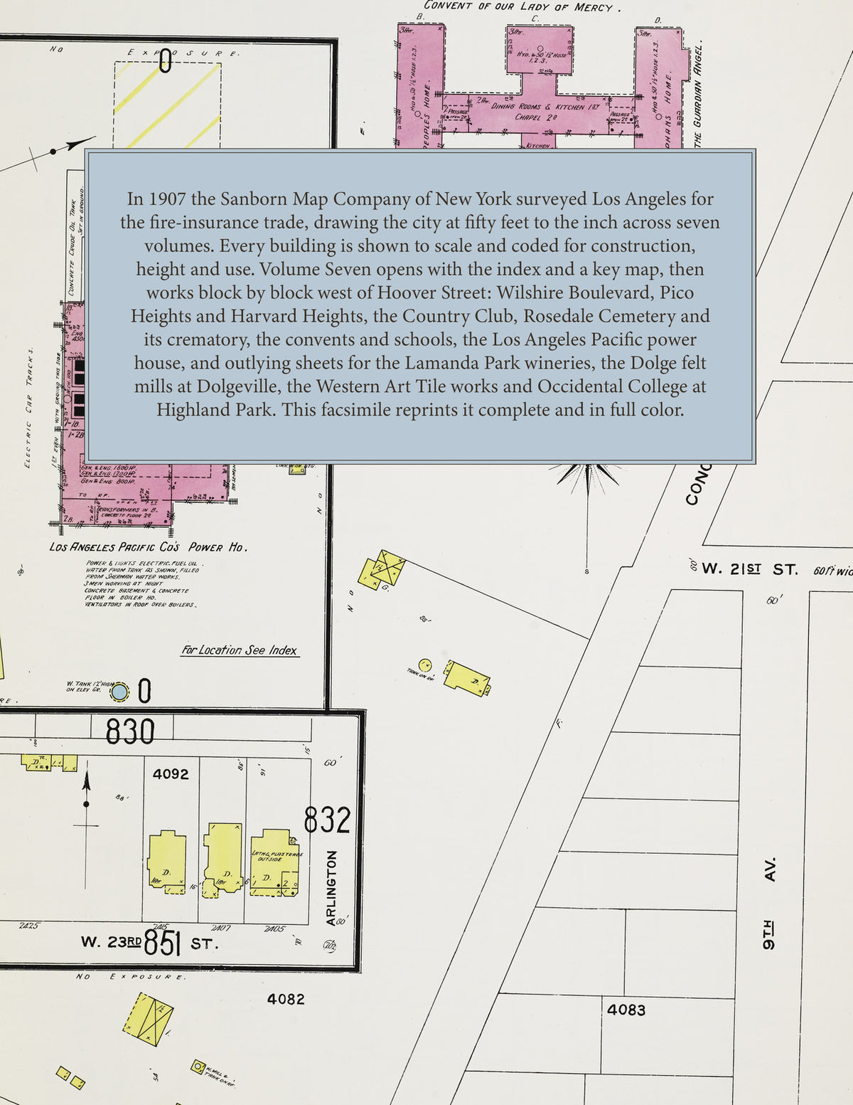
1907 Fire Insurance Maps & Atlas of Los Angeles, California, Volume 7
1907 Fire Insurance Maps & Atlas of Los Angeles, California, Volume 7
Couldn't load pickup availability
Facsimile of the 1907 Sanborn fire-insurance atlas of Los Angeles, California, Volume Seven of the seven-volume 1906-07 set, reproduced in full color from the Library of Congress copy. It covers the western residential districts of the city, from First and Third Streets by Hoover Street south across Wilshire Boulevard, Ninth Street, Pico Street and Washington Street to Adams Street, and west through Westmoreland, Pico Heights, Harvard Heights, Berkeley Square, Rosedale Cemetery and the Los Angeles Country Club to Western and Arlington Avenues; closing sheets map the outlying works and colleges at Lamanda Park, Sierra Madre, Dolgeville, Tropico, Garvanza, West Glendale, Inglewood and Highland Park.
The one hundred and sixteen numbered sheets, 751 to 866, work block by block from the residences and halls along Wilshire Boulevard, Hoover Street, Vermont Avenue, Pico Street, Washington Street and Twenty-third Street - the Casa del Pico, the Bimini Hot Springs, the Sunset Telegraph and Telephone exchange and the fire department station - through the Los Angeles Pacific Company's power house, the Pico Heights and Patton & Davies lumber companies, the Metropolitan Contracting Company, the Hollywood Laundry, the Eureka Creamery, the Occidental Motor Car Company, the Woolner Oil Company, the Kapp fuel and feed yard and the Rosedale nursery and transfer company, and out to the Sierra Madre Vintage Company, the Ramona Winery and the citrus packing house at Lamanda Park, the Alfred Dolge Manufacturing Company's felt mills and the Tallerday sheet metal works at Dolgeville, the Western Art Tile Company at Tropico, the West Glendale Winery and the Continuous Brick Kiln Company of Inglewood, to the Booth and Maud B. Booth homes for children, the Home of the Guardian Angel, the convents of Our Lady of Mercy, the Good Shepherd, the Holy Names and the Immaculate Heart, the Sierra Madre Villa sanitarium, the Los Angeles Military Academy, Occidental College with its Hall of Letters and Stimson Library, the Berendo Street, Harvard Heights, Hobart Boulevard, Hoover Street, Magnolia Avenue, Rosedale, Twenty-fourth Street, Garvanza and Highland Park schools, St. James' and St. Matthias' Episcopal and St. Thomas' Catholic churches, the Grand View Presbyterian, Olivet and El Molino Street Congregational, Harvard Heights, Pico Heights Christian and Methodist and Magnolia Avenue Christian churches, Rosedale Cemetery and its crematory, the Los Angeles Country Club and Sunset Park, and the residential streets of Wilshire, Westmoreland, Pico Heights, Harvard Heights and Berkeley Square.
In 1907 the Sanborn Map Company of New York surveyed Los Angeles for the fire-insurance trade, drawing the city at fifty feet to the inch. Every building is shown to scale and color-coded for construction (yellow for frame, pink for brick, blue for stone), with heights, uses, windows, party walls, hydrants, water mains and fire stations all marked. The index lists every street and every named business, church, school, hotel and works in this volume with the sheet it appears on, and the two key maps place the colored sheet grid over this part of the city.
This Tangletown Press edition is an unabridged facsimile republication of the atlas: the title sheet, the index of streets and specials with the block index, the two-sheet key map and all one hundred and sixteen numbered map sheets, 751 to 866. Ideal for local historians, genealogists, architects, preservationists and anyone tracing a Los Angeles address back to 1907.
122 pages. 8.5" x 11". Full color. Paperback.
Printed to order and shipped directly to you — please allow up to 7 business days before shipment.
Satisfaction guaranteed or you can send it back!