1909 Fire Insurance Maps and Atlas of Greensburg, Pennsylvania
1909 Fire Insurance Maps and Atlas of Greensburg, Pennsylvania
Couldn't load pickup availability
Facsimile of the 1909 Sanborn fire-insurance atlas of Greensburg, Pennsylvania, reproduced in full color from the Library of Congress copy. It covers the whole Westmoreland County seat of 20,000 people, from the Court House and the stores, hotels and theatres of Main and Pittsburg Streets along the Pennsylvania Railroad to the coal mines, steel, glass and iron works, the schools, churches and residential wards, South West Greensburg, the County Home and St. Joseph's and St. Mary's academies.
The twenty-eight numbered sheets that follow work block by block from the stores, banks and offices along Main Street, Pennsylvania Avenue, Pittsburg Street and Otterman Street - the Westmoreland County Court House and Jail, the Post Office, the Armory Hall, the Masonic Temple, the Casino and Temple Electric theatres, the St. Clair Theatre, the Tribune and Democrat printing offices, the Central District and Printing Telephone building, the Hotels Cope, Ehalt, Kunkle, Ludwick, Monahan and Rappe, the Merchants', Fisher and Zimmerman hotels, the Kebes, Normanda and Null houses and the skating rinks - through the Pennsylvania Railroad passenger station, freight house and East Greensburg station, the Pittsburg, McKeesport and Greensburg street railway car barn and depot, the West Penn Railway power sub-station, the Keystone Coal and Coke Company's Greensburg mines No. 1 and No. 2, the Keystone Clay Product Company, the Greensburg Steel, Glass, Stone, Brewing and Distilling companies, the Star Brewing Company, the Brown-Ketcham iron works, the Ludwick and Hempfield foundries, the Overly metal works, the Sheffler machine shop, the Kleber piano factory, the Graft canvas glove factory, the Wagoner curtain stretcher works, the Kepple, Eisaman and Acme carriage works, the Parr Wagon Company, the Koontz and McColly marble works, the Schomaker and Model roller flour mills, the Struble and Walthour planing mill and the Reed, McFarland and South Greensburg lumber yards, the Westmoreland Ice Company, the Kilgore Bottling Company and the Greensburg Steam Laundry, to the Westmoreland Hospital, the Westmoreland County Home and Children's Home, St. Joseph's and St. Mary's academies, the High School, the ward schools and St. Benedict's parochial school, the Most Holy Sacrament Catholic church, the Lutheran, Presbyterian, Reformed, Methodist, Baptist, Episcopal, Evangelical and United Brethren churches and the synagogue, and the residential streets of Greensburg and South West Greensburg.
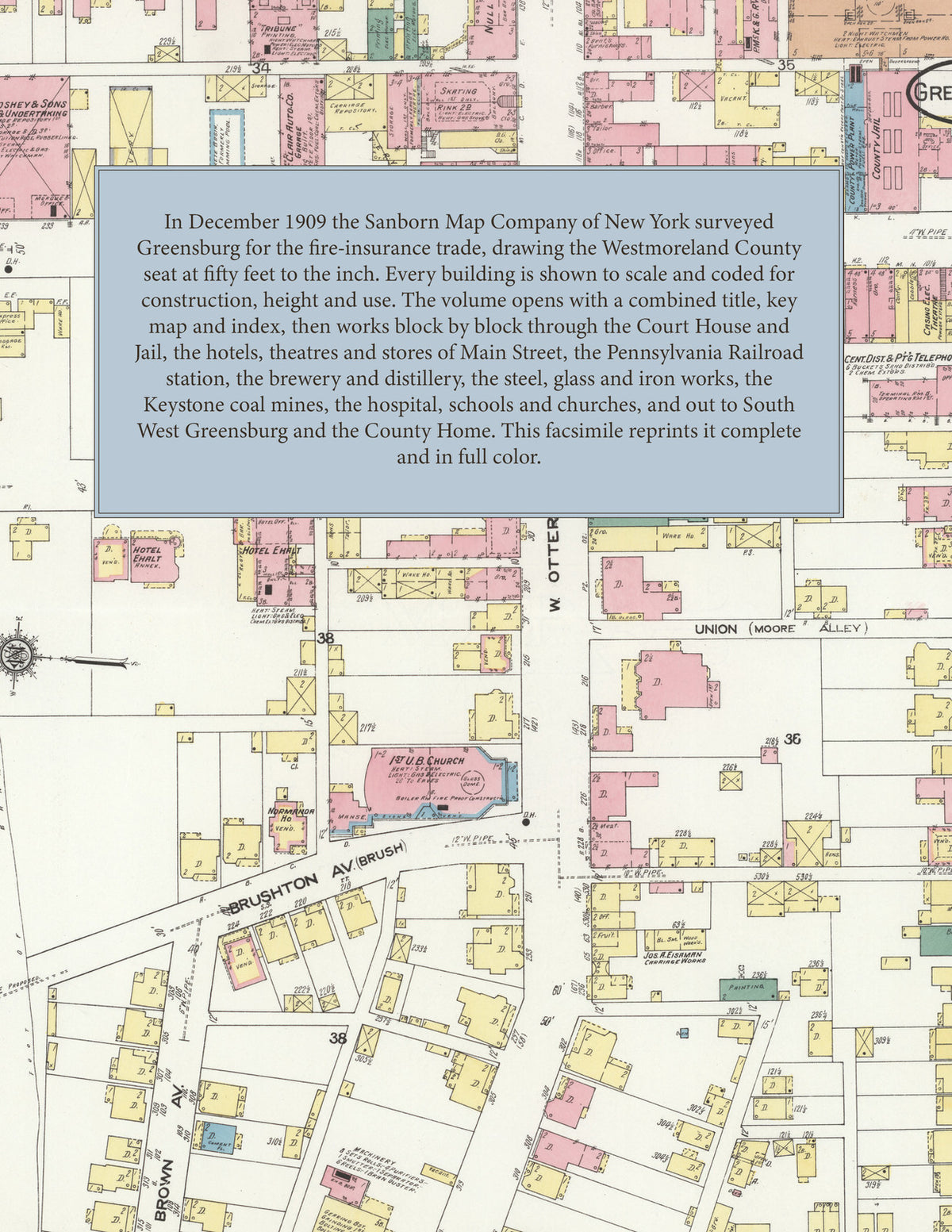
In 1909 the Sanborn Map Company of New York surveyed Greensburg for the fire-insurance trade, drawing the city at fifty feet to the inch. Every building is shown to scale and color-coded for construction (yellow for frame, pink for brick, blue for stone), with heights, uses, windows, party walls, hydrants, water mains and fire stations all marked. The index lists every street and every named business, church, school, hotel, mill and works with the sheet it appears on, and the key map places the colored sheet grid over the whole city.
This edition is an unabridged facsimile republication of the atlas: all twenty-nine numbered map sheets, 1 to 29, sheet 1 being the combined title, key map and index sheet with its report on the water facilities and fire department, the others covering the borough from the Court House square to the coal mines, mills and works on the Pennsylvania Railroad, South West Greensburg and the County Home. Ideal for local historians, genealogists, architects, preservationists and anyone tracing a Greensburg address back to 1909.
32 pages. 8.5" x 11". Full color. Paperback.
Printed to order and shipped directly to you — please allow up to 7 business days before shipment.
Satisfaction guaranteed or you can send it back!