1910-1926 Fire Insurance Maps and Atlas of Clinton, Oklahoma
1910-1926 Fire Insurance Maps and Atlas of Clinton, Oklahoma
Couldn't load pickup availability
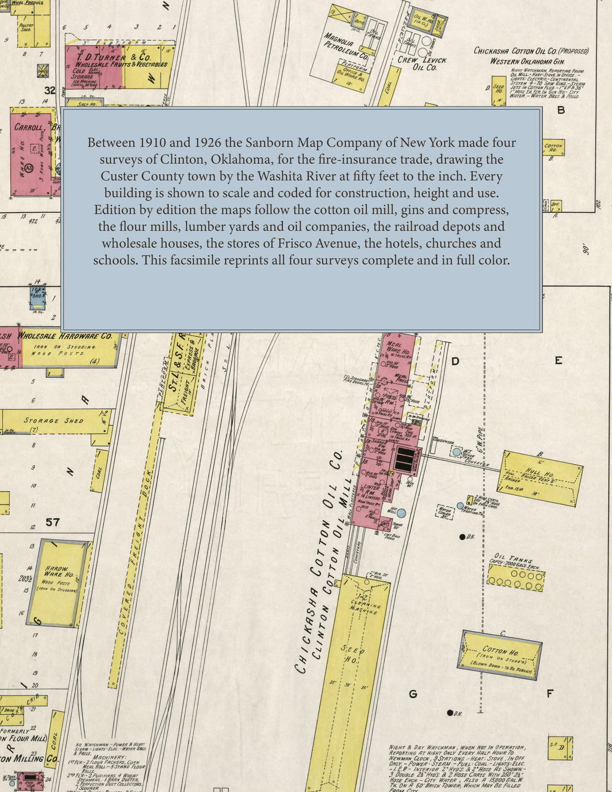
Facsimile of the four Sanborn fire-insurance surveys of Clinton, Custer County, Oklahoma, made between 1910 and 1926, reproduced in full color from the Library of Congress copies. Together they cover the town by the Washita River: the stores of Frisco and Choctaw avenues, the railroad depots, freight docks and wholesale houses, the cotton oil mill, gins, compress, flour mills and lumber yards, and the residential streets out to Hayes, Court and Terrace avenues and Clinton Junction.
In April 1910 five sheets show the Chickasha Cotton Oil Co.'s Clinton Cotton Oil Mill and Washita Gin, the Orient Gin Co., Traders' Compress Co., the Clinton Ice Co., Electric Light Plant, Broom Factory, Steam Laundry and Alfalfa Milling Co., the city water works pumping station, J. D. Chalfant's grain company, the Clinton, Washita, White and L. B. Grant lumber yards, the flour mills by the F. R. R. depot, the Lacy Hotel, Coleman House, opera house, post office, public schools and the First Baptist, First Methodist Episcopal and Christian churches. By January 1914 ten sheets add the Inter-State Cotton Compress Co., the Bauer-Kock Broom Co., Carroll, Brough, Robinson & Humphrey, wholesale grocers, Chalfant-Nelson Grain Co., the Long-Bell Lumber Co., National Refining Co., Swift & Co.'s meat depot, T. D. Turner & Co., Welsh Wholesale Hardware Co., the Okla. & West'n R. R. engine house, the St. L. & S. F. R. R. depot, the city hall, city hospital, high school and South Side School, the New Grace, New Porter, Savoy and Shirley hotels and St. John's Roman Catholic Church. The November 1918 edition, on twelve sheets, reaches the Clinton Milling Co., Creamery Co., Bottling Works and Ice Cream Co., the Magnolia Petroleum, Crown Petroleum, Crew Levick, Lindner and Pierce oil companies, the K. C. M. & O. R. R. freight depot, Goodner-Krum-Farr Co.'s storage warehouse, the Western Oklahoma Gin, the telephone exchange and Ward and Wilson public schools. In April 1926 fourteen sheets take in the American Legion Hall, Armour Creamery Co., Calmes Motor Co., the Cities Service and Independent oil companies, the Clinton & Okla. W. R. R. depot and engine house, Dawson & Frank's cotton gin, the Farmers Union Co-operative Association, Hawks Hotel, Hotel Hann, the Marland Refining Co., Oklahoma Gas & Electric Co., Washington School, the Custer County Breeders' Association and the Western Oklahoma Tuberculosis Sanitarium.
Between 1910 and 1926 the Sanborn Map Company of New York made four surveys of Clinton for the fire-insurance trade, drawing the town at fifty feet to the inch. Every building is shown to scale and color-coded for construction (yellow for frame, pink for brick, blue for stone), with heights, uses, gins, mill machinery, oil tanks, railroad tracks, hydrants and water pipes all marked. Each edition opens with a key map of the town and an index of streets and of named businesses, mills, churches, schools and hotels, and a divider page introduces each edition.
This Tangletown Press edition is an unabridged facsimile republication of the atlas: all forty-one map sheets of the four editions of 1910, 1914, 1918 and 1926, with the key map and index of every edition, each edition introduced by a divider page. Ideal for local historians, genealogists, architects, preservationists and anyone tracing a Clinton address back to 1910-1926.
48 pages. 8.5" x 11". Full color. Paperback.
Printed to order and shipped directly to you — please allow up to 7 business days before shipment.
Satisfaction guaranteed or you can send it back!