1910 Fire Insurance Maps and Atlas of Northampton, Massachusetts
1910 Fire Insurance Maps and Atlas of Northampton, Massachusetts
Couldn't load pickup availability
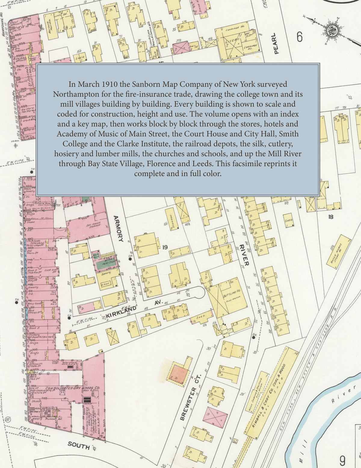
Facsimile of the 1910 Sanborn fire-insurance atlas of Northampton, Massachusetts, reproduced in full color from the Library of Congress copy. It covers the whole Hampshire County seat of 20,000 people on the Mill River, from the Court House, the City Hall and the stores of Main Street and Smith College out through the railroad depots, silk, cutlery and lumber mills to the fair grounds, and up the river through Bay State Village and Florence to the silk-mill village of Leeds.
The forty numbered sheets work block by block from the stores, banks and halls along Main Street, King Street, Pleasant Street and Market Street - the Hampshire County Court House and the County Jail and House of Correction, the City Hall, Memorial Hall, the Post Office, the Forbes Library, the Academy of Music, the Armory, the People's Institute, the First National Bank Building, the Y. M. C. A. Building, and the Draper Hotel, the Hampshire House, the Court Square Hotel, the Beckmore Hotel and Rahar's Inn - through the Boston and Maine and New York, New Haven and Hartford passenger stations, freight houses and round house, the Connecticut Valley Street Railway car barns and power house, Belding Brothers' silk factory, the McCallum Hosiery Company, Maynard's hoe and shovel factory, the Orcutt Wagon Works, the Herrick Machine Works, the Northampton Emery Wheel Company and Norwood Emery Company, E. P. Clark's pencil and crayon works, the Clement and Northampton cutlery works, Wm. A. Rogers' cutlery works, the Mt. Tom Sulphite Pulp Company, the Connecticut Valley and Franklin County lumber companies, the Northampton Electric Light and Gas Light companies, the Bay State Chemical Company, the National Biscuit and Swift warehouses and the Bailey and Matthews brick yards, and at Florence and Leeds the Nonotuck Silk Company's mills, the Florence Manufacturing Company, the Florence Company's oil-stove works, the Florence Furniture Company, the Star Enameling Works, the Healy cash-register works and the Norwood Engineering foundry, to the Cooley Dickinson Hospital, Smith College, the Clarke Institute for the Deaf, the Capen School for Girls, Smith's Agricultural School, the Northampton School of Industries, the High School and the Hawley, Bridge Street, Vernon Street and South Street schools, the Edwards and First Congregational churches and the First Congregational at Florence, St. Michael's school and convent, Sacred Heart, the Blessed Sacrament and the Elm Street Catholic churches, St. Joseph's Episcopal, the Unitarian Church, Cosmian Hall and the Lilly Library at Florence, the Hampshire and Hampden Agricultural Society's fair grounds, and the residential streets out to Bay State Village and Leeds.
In 1910 the Sanborn Map Company of New York surveyed Northampton for the fire-insurance trade, drawing the city at fifty feet to the inch. Every building is shown to scale and color-coded for construction (yellow for frame, pink for brick, blue for stone), with heights, uses, windows, party walls, hydrants, water mains and fire stations all marked. The index lists every street and every named business, church, school, hotel, mill and works with the sheet it appears on, and the key map places the colored sheet grid over the whole city.
This edition is an unabridged facsimile republication of the atlas: the combined title and index sheet and all forty numbered map sheets, the first of them the key map with its report on the water works and fire department, covering Northampton, Bay State Village, Florence and Leeds. Ideal for local historians, genealogists, architects, preservationists and anyone tracing a Northampton address back to 1910.
42 pages. 8.5" x 11". Full color. Paperback.
Printed to order and shipped directly to you — please allow up to 7 business days before shipment.
Satisfaction guaranteed or you can send it back!