1911 Fire Insurance Maps and Atlas of Appleton, Wisconsin
1911 Fire Insurance Maps and Atlas of Appleton, Wisconsin
Couldn't load pickup availability
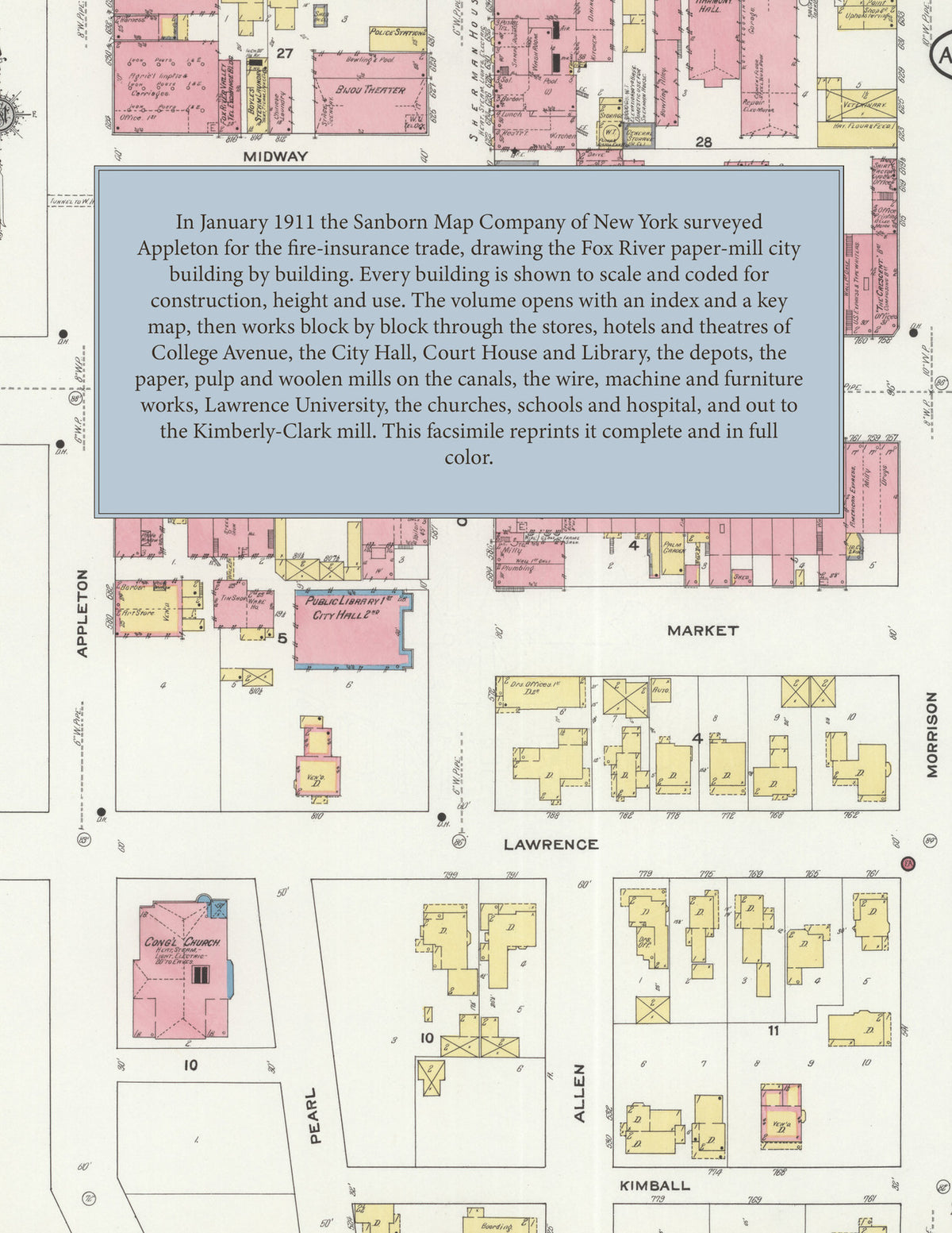
Facsimile of the 1911 Sanborn fire-insurance atlas of Appleton, Wisconsin, reproduced in full color from the Library of Congress copy. It covers the whole Outagamie County city of 20,000 people on both banks of the Fox River, from the stores, hotels and theatres of College Avenue out through the paper, pulp and woolen mills on the canals, Grand Chute Island and the river flats to Lawrence University, the residential streets north of the river and across it to the south, the county asylum and the Kimberly-Clark and Little Chute mills down the river.
The forty numbered sheets work block by block from the stores, banks and offices along College Avenue and Appleton, Oneida, Morrison and Washington Streets - the City Hall, the City Market, the Outagamie County Court House and Jail, the two Post Offices, the Public Library, the Police Station, the Armory of Company G, the I. O. O. F. Building, Harmony Hall, Columbia Hall, the Wolter Building, the Pettibone-Peabody department store, the Bijou and Appleton theatres, and the Sherman House, the Ritger, Blackstone, Valley, Central, Northwestern and Commercial hotels - through the Chicago and North Western and Milwaukee Road depots, the city water works, the Wisconsin Traction, Light, Heat and Power car barn, gas plant and power house, the Patton, Telulah, Fox River, Atlas, Riverside Fibre, Inter-Lake, Wisconsin Tissue, Appleton Coated and Kimberly-Clark paper and pulp mills, the Appleton and North Side woolen mills, the Saxony, Lake Superior and Fox River Valley knitting mills, the Appleton, Fox River and Wisconsin wire works, the Appleton Machine Company, the Valley Iron Works, the Vulcan works on Grand Chute Island, the boiler, stove, furnace, gasoline-engine and windmill works, the hub and spoke, chair, toy and furniture factories, the Walter and Appleton breweries, the malt house and grain elevators, the pickle works at Appleton Junction, the lumber and coal yards, to St. Elizabeth Hospital, the Children's Home, the Outagamie County Insane Asylum and Poor House, Lawrence University, the Appleton High School, the Lincoln, Franklin, Columbus and ward schools, the Capuchin Monastery, Sacred Heart, St. Joseph's and St. Mary's, St. John's and St. Paul's Lutheran, Zion Lutheran, Memorial Presbyterian, the Congregational, Episcopal, Baptist and Methodist churches and Temple Zion, City Park, Lehman's Summer Resort, and the residential streets on both sides of the Fox River and out to the Little Chute pulp mill.
In January 1911 the Sanborn Map Company of New York surveyed Appleton for the fire-insurance trade, drawing the city at fifty feet to the inch. Every building is shown to scale and color-coded for construction (yellow for frame, pink for brick, blue for stone), with heights, uses, windows, party walls, hydrants, water mains and fire stations all marked. The index lists every street and every named business, church, school, hotel, mill and works with the sheet it appears on, and the key map places the colored sheet grid over the whole city.
This edition is an unabridged facsimile republication of the atlas: the combined title and index sheet and all forty numbered map sheets, the first of them the key map with its report on the water works and fire department. Ideal for local historians, genealogists, architects, preservationists and anyone tracing a Appleton address back to 1911.
42 pages. 8.5" x 11". Full color. Paperback.
Printed to order and shipped directly to you — please allow up to 7 business days before shipment.
Satisfaction guaranteed or you can send it back!