1912 Fire Insurance Maps and Atlas of Iola, Kansas
1912 Fire Insurance Maps and Atlas of Iola, Kansas
Couldn't load pickup availability
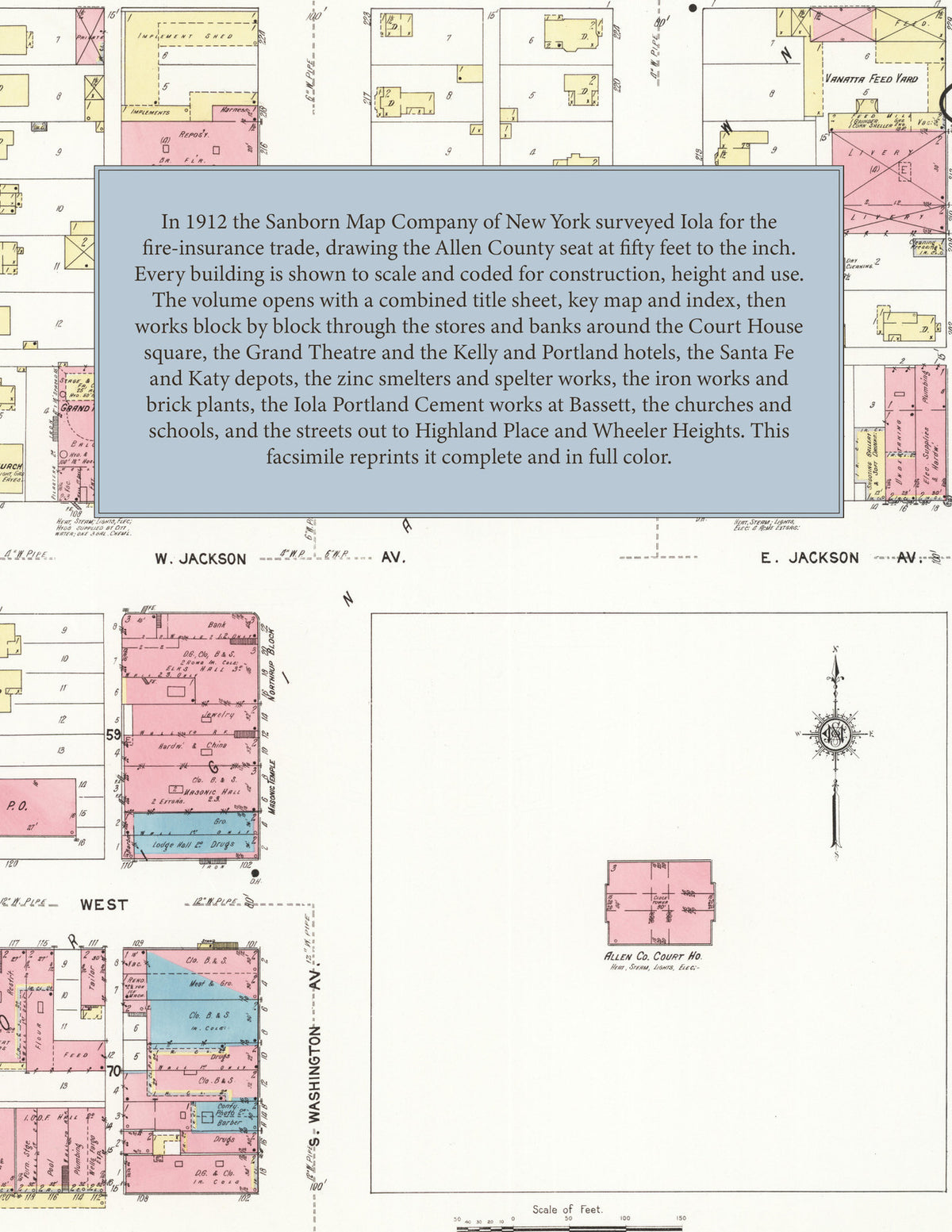
Facsimile of the 1912 Sanborn fire-insurance atlas of Iola, Kansas, reproduced in full color from the Library of Congress copy. It covers the whole city of 9,500 people, from the stores, banks and Court House square along Washington, Jefferson and Madison Avenues, through the Santa Fe, Katy and Missouri Pacific tracks and the zinc smelters and brick plants, to the residential additions of Highland Place and Brooklyn Park and, across Elm Creek, Bassett, the Iola Portland Cement works and Wheeler Heights.
The twenty-four numbered sheets work block by block from the stores, banks, hotels and theatres around the Court House square along Washington Avenue, Jefferson Avenue, Madison Avenue, Jackson Avenue and Broadway - the Allen County Court House and Jail, the City Hall and Police Station, the Post Office, the Carnegie Public Library, the Masonic Temple, the Northrup Block, the Bell Telephone Building, the Grand Theatre and the Airdome, the Kelly, Portland, Jefferson, Manhattan and Pennsylvania hotels and the Russell House, the Eagles' Home, the Iola Business College and the Y. M. C. A. and Y. W. C. A. - through the Atchison, Topeka and Santa Fe and the Missouri, Kansas and Texas stations and the Missouri Pacific tracks, the Iola Electric Railway car barn and power house, the Layon Zinc Company and Prime Western Spelter Company smelters, the United Zinc and Chemical works, the United Iron Works, the Iola Portland Cement Company's works at Bassett, the Iola Brick and Union Brick plants, the Iola Electric Light and Water Works, the Iola Ice and Cold Storage Company, the Iola Planing Mill, Steam Laundry, Creamery and Wholesale Grocery, the Brownfield-Sifers wholesale candy house, the Wheeler Mercantile overall and shirt factory, the Becker Button factory, the Miller ice-cream factory and bottling works, the Claiborn feed and cider mill, the Chicago, Northrup and Klein lumber yards, the Standard Oil station and the slaughter houses, to St. John's Hospital, the Sutcliffe and Iola sanitariums, the High School, the Jefferson, Lincoln, McKinley, Garfield, Washington and Bassett schools, St. John's Catholic Church, St. Timothy's Episcopal, the First Baptist, Methodist Episcopal, Trinity Methodist, Presbyterian, Christian, Christian Science, German Reformed, United Brethren and Seventh Day Adventist churches, the Baptist and A. M. E. churches, Bassett Chapel, the Salvation Army hall, and the residential streets of Gear's, Twiss, Rhodes and Brooklyn Park additions, Highland Place, Homestead Place, Bassett and Wheeler Heights.
In 1912 the Sanborn Map Company of New York surveyed Iola for the fire-insurance trade, drawing the city at fifty feet to the inch. Every building is shown to scale and color-coded for construction (yellow for frame, pink for brick, blue for stone), with heights, uses, windows, party walls, hydrants, water mains and fire stations all marked. The index lists every street and every named business, church, school, hotel, mill and works with the sheet it appears on, and the key map places the colored sheet grid over the whole city.
This edition is an unabridged facsimile republication of the atlas: the combined title, key map and index sheet and all twenty-four numbered map sheets, 2 to 25. Ideal for local historians, genealogists, architects, preservationists and anyone tracing a Iola address back to 1912.
32 pages. 8.5" x 11". Full color. Paperback.
Printed to order and shipped directly to you — please allow up to 7 business days before shipment.
Satisfaction guaranteed or you can send it back!