1915 Fire Insurance Atlas of Webb City, Carterville & Oronogo, MO
1915 Fire Insurance Atlas of Webb City, Carterville & Oronogo, MO
Couldn't load pickup availability
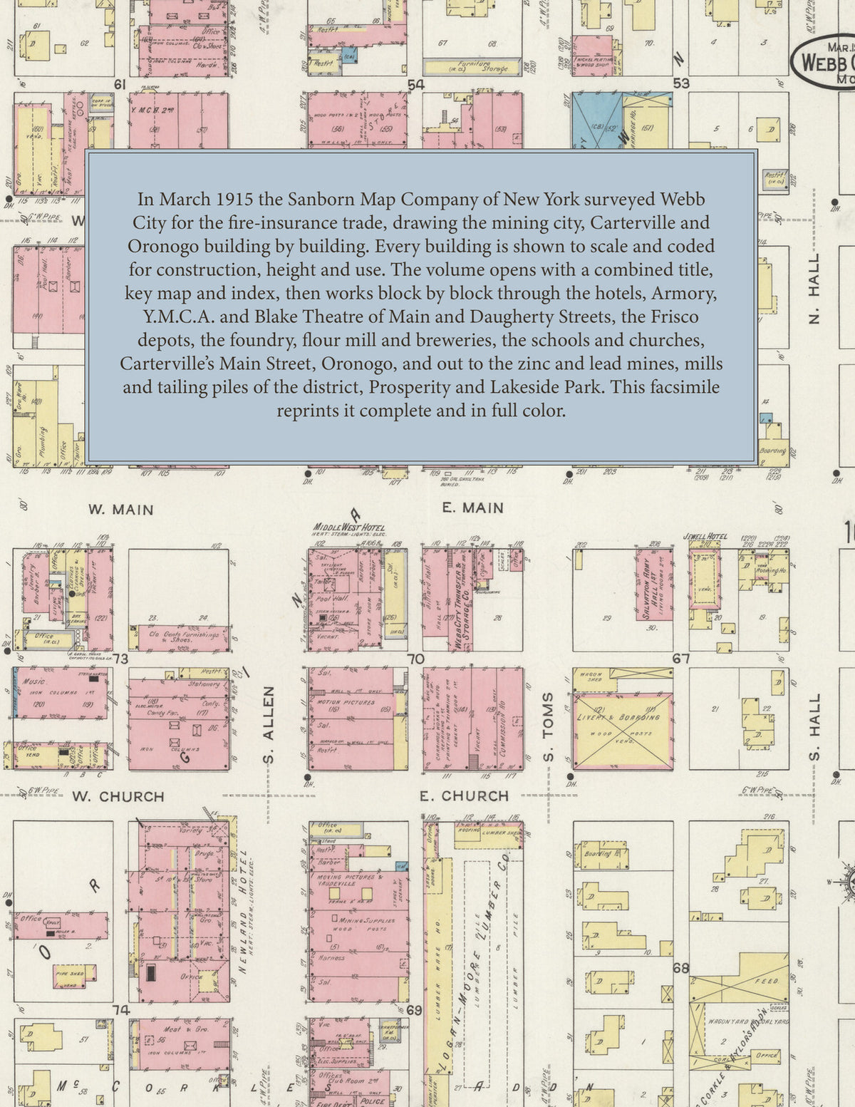
Facsimile of the 1915 Sanborn fire-insurance atlas of Webb City, Carterville and Oronogo, Missouri, reproduced in full color from the Library of Congress copy. It covers the Jasper County mining city of 10,000 people and its neighbors, from the stores, banks, hotels and theatre of Main and Daugherty Streets out along the Frisco, Missouri Pacific and Southwest Missouri Electric lines to the foundry, mills, lumber yards and ice plants, the schools, churches and residential additions, Carterville to the east, Oronogo on Center Creek, and the zinc and lead mines and mills out to Prosperity and Lakeside Park.
The thirty-two numbered sheets that follow work block by block from the stores, banks and offices along Main, Daugherty, Church, Allen, Webb and Liberty Streets - the Post Office, the Public Library, the Home Telephone Building, the Armory, the Y. M. C. A. Hall, the Salvation Army Hall, the Police Court and fire station, the Blake Theatre and the Middle West, Jewell, Newland and Commercial hotels - through the St. Louis and San Francisco passenger depots, the Southwest Missouri Electric Railroad car barns and power house, the Webb City and Carterville Foundry and Machine Works, the Carterville boiler and sheet metal works, the Ball and Gunning flour mill and elevators, the Anheuser-Busch and Quincy breweries, the Interurban Ice Company ice plants, the Logan-Moore, Coyne, Byrne-Renfro and Smith lumber yards, the coal and hay yards and the Crescent Laundry, to the Jane Chinn Hospital, the High School, the Central, Eugene Field, Franklin, Webster and West Side schools, the former Great Western Normal and Business College, Sacred Heart Catholic Church and the Methodist, Baptist, Christian, Presbyterian and Episcopal churches, and the residential additions; then Carterville, with its Town Hall, Post Office, Telephone Exchange, hotel, hose houses, schools and churches; Oronogo, with its City Hall, Post Office, Frisco depot and schools; and the zinc and lead mines, concentrating mills and tailing piles of the district - the American Zinc, Lead and Smelting, Oronogo Circle, Carmean and Squires, Wingfield, Rice, Providence, Osceola, Star, Mercantile Metal, Trinity, Continental Zinc and many more - out to the mining camp of Prosperity, the Webb City and Carterville Water Works on Center Creek, and Lakeside Park with its hotel, summer theatre and pavilion.
In March 1915 the Sanborn Map Company of New York surveyed Webb City, Carterville and Oronogo for the fire-insurance trade, drawing the three towns and the mines around them at fifty feet to the inch. Every building is shown to scale and color-coded for construction (yellow for frame, pink for brick, blue for stone), with heights, uses, windows, party walls, hydrants, water mains and fire stations all marked. The index lists every street and every named business, church, school, hotel, mill and works with the sheet it appears on, and the key map places the colored sheet grid over the whole city.
This edition is an unabridged facsimile republication of the atlas: all thirty-three numbered map sheets, 1 to 33, sheet 1 being the combined title, key map and index sheet with its reports on the water works and fire departments of Webb City, Carterville and Oronogo, the others covering Webb City, Carterville, Oronogo and the zinc and lead mines and mills of the district out to Prosperity and Lakeside Park. Ideal for local historians, genealogists, architects, preservationists and anyone tracing a Webb City address back to 1915.
34 pages. 8.5" x 11". Full color. Paperback.
Printed to order and shipped directly to you — please allow up to 7 business days before shipment.
Satisfaction guaranteed or you can send it back!