1917 Butte Anaconda & Pacific Railway Valuation Maps, BA&P Montana
1917 Butte Anaconda & Pacific Railway Valuation Maps, BA&P Montana
Couldn't load pickup availability
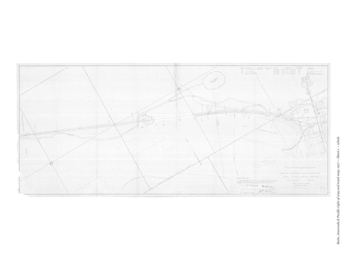
The Butte, Anaconda and Pacific’s own right of way and track maps of its line between Butte and Anaconda, drawn in the office of the chief engineer at Anaconda, Montana, and dated June 1917. Eleven primary sheets and a further sheet draw the line at one inch to 200 feet, with its tracks, sidings, structures and right-of-way lines and the mining and smelter properties beside them, as the line stood in 1917.
Contents: Sheet 1 (pages 3–7); Sheet 2 (pages 8–12); Sheet 3 (pages 13–17); Sheet 4 (pages 18–22); Sheet 5 (pages 23–27); Sheet 6 (pages 28–32); Sheet 7 (pages 33–37); Sheet 8 (pages 38–42); Sheet 9 (pages 43–47); Sheet 10 (pages 48–52); Sheet 11 (pages 53–57); Sheet 14 (pages 58–63).
Each sheet is shown whole and then one folded panel to a page, so that the survey stations, track notes, structures and land boundaries can be read.
This facsimile reproduces all twelve sheets of the valuation section that survive in the National Archives scans.
64 pages. 8.5" x 11". Black and white on cream paper. Paperback. Each sheet is shown whole, turned sideways, and then one folded panel of the original sheet to a page, printed upright at about two-fifths of its original size.
Printed to order and shipped directly to you — please allow up to 7 business days before shipment.
Satisfaction guaranteed or you can send it back!