1918 Milwaukee Road Valuation Maps, Flathead Line & Big Blackfoot Branch MT
1918 Milwaukee Road Valuation Maps, Flathead Line & Big Blackfoot Branch MT
Couldn't load pickup availability
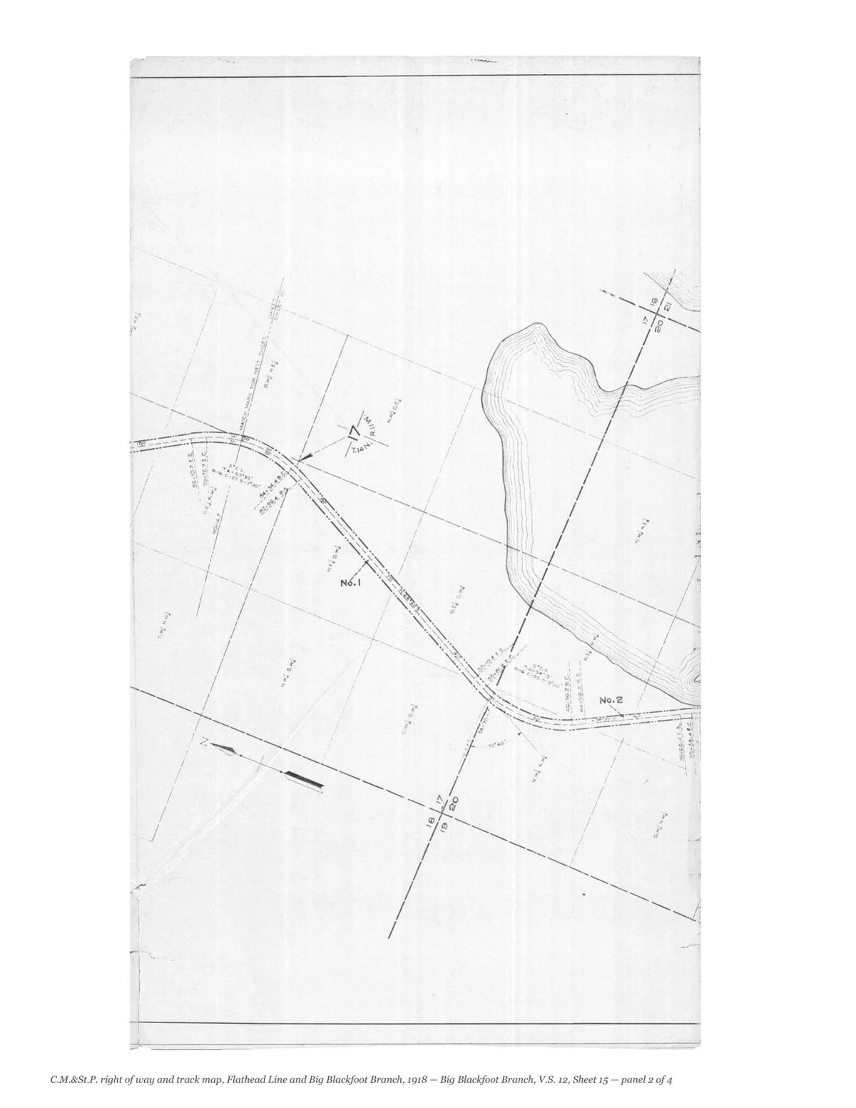
The Milwaukee Road’s own right of way and track maps of its Flathead Line and Big Blackfoot Branch, drawn in the office of the valuation engineer at Chicago and dated June 30, 1918; the station maps were drawn in 1915 and corrected to June 30, 1918. Thirty-five sheets of the Flathead Line, with its index map, and fifteen of the Big Blackfoot Branch. They were drawn for the federal valuation of the railroads and record every track, siding, bridge, building and right-of-way line, with the owners of the land beside the track.
Contents: Flathead Line, V.S. 11, Index map (pages 3–7); Flathead Line, V.S. 11, Sheet 2 (pages 8–12); Flathead Line, V.S. 11, Sheet 4 (pages 13–17); Flathead Line, V.S. 11, Sheet 5 (pages 18–22); Flathead Line, V.S. 11, Sheet 6 (pages 23–27); Flathead Line, V.S. 11, Sheet 7 (pages 28–32); Flathead Line, V.S. 11, Sheet 8 (pages 33–37); Flathead Line, V.S. 11, Sheet 9 (pages 38–42); Flathead Line, V.S. 11, Sheet 10 (pages 43–47); Flathead Line, V.S. 11, Sheet 11 (pages 48–52); Flathead Line, V.S. 11, Sheet 12 (pages 53–57); Flathead Line, V.S. 11, Sheet 13 (pages 58–62); Flathead Line, V.S. 11, Sheet 14 (pages 63–67); Flathead Line, V.S. 11, Sheet 15 (pages 68–72); Flathead Line, V.S. 11, Sheet 16 (pages 73–77); Flathead Line, V.S. 11, Sheet 17, scan 1 of 2 (pages 78–82); Flathead Line, V.S. 11, Sheet 17, scan 2 of 2 (pages 83–87); Flathead Line, V.S. 11, Sheet 18 (pages 88–92); Flathead Line, V.S. 11, Sheet 19 (pages 93–97); Flathead Line, V.S. 11, Sheet 20 (pages 98–102); Flathead Line, V.S. 11, Sheet 21 (pages 103–107); Flathead Line, V.S. 11, Sheet 34 (pages 108–112); Flathead Line, V.S. 11, Sheet 35 (pages 113–117); Flathead Line, V.S. 11, Sheet 36 (pages 118–122); Flathead Line, V.S. 11, Sheet 37 (pages 123–127); Flathead Line, V.S. 11, Sheet 38 (pages 128–132); Flathead Line, V.S. 11, Sheet 39 (pages 133–137); Flathead Line, V.S. 11, Sheet 40 (pages 138–142); Flathead Line, V.S. 11, Sheet 41 (pages 143–147); Flathead Line, V.S. 11, Sheet 42 (pages 148–152); Flathead Line, V.S. 11, Sheet 43 (pages 153–157); Flathead Line, V.S. 11, Sheet 44 (pages 158–162); Flathead Line, V.S. 11, Sheet 45 (pages 163–167); Flathead Line, V.S. 11, Sheet 46 (pages 168–172); Flathead Line, V.S. 11, Sheet 47 (pages 173–177); Big Blackfoot Branch, V.S. 12, Sheet 1 (pages 178–182); Big Blackfoot Branch, V.S. 12, Sheet 2 (pages 183–187); Big Blackfoot Branch, V.S. 12, Sheet 3 (pages 188–192); Big Blackfoot Branch, V.S. 12, Sheet 4 (pages 193–197); Big Blackfoot Branch, V.S. 12, Sheet 5 (pages 198–202); Big Blackfoot Branch, V.S. 12, Sheet 6 (pages 203–207); Big Blackfoot Branch, V.S. 12, Sheet 7 (pages 208–212); Big Blackfoot Branch, V.S. 12, Sheet 8 (pages 213–217); Big Blackfoot Branch, V.S. 12, Sheet 9 (pages 218–222); Big Blackfoot Branch, V.S. 12, Sheet 10 (pages 223–227); Big Blackfoot Branch, V.S. 12, Sheet 11 (pages 228–232); Big Blackfoot Branch, V.S. 12, Sheet 12 (pages 233–237); Big Blackfoot Branch, V.S. 12, Sheet 13 (pages 238–242); Big Blackfoot Branch, V.S. 12, Sheet 14 (pages 243–247); Big Blackfoot Branch, V.S. 12, Sheet 15 (pages 248–252).
Each sheet is shown whole and then one folded panel to a page, so that the survey stations, track notes, structures and land boundaries can be read.
This facsimile reproduces all fifty scans in the National Archives.
252 pages. 8.5" x 11". Black and white on cream paper. Paperback. Each sheet is shown whole, turned sideways, and then one folded panel of the original sheet to a page, printed upright at about two-fifths of its original size.
Printed to order and shipped directly to you — please allow up to 7 business days before shipment.
Satisfaction guaranteed or you can send it back!