1919 Denver & Rio Grande Tennessee Pass Valuation Maps, Salida Leadville Minturn
1919 Denver & Rio Grande Tennessee Pass Valuation Maps, Salida Leadville Minturn
Couldn't load pickup availability
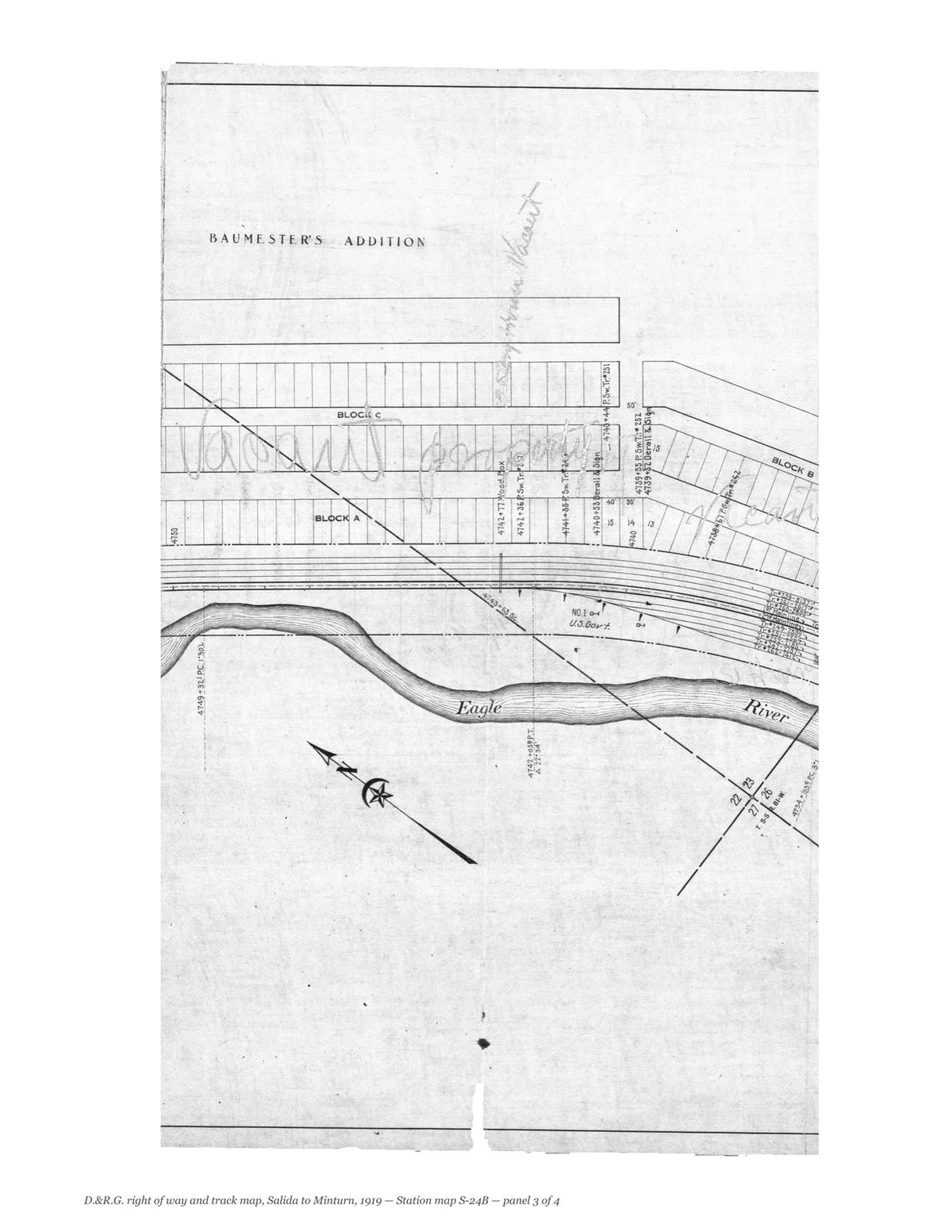
The Denver & Rio Grande’s own right of way and track maps of its main line from Salida over Tennessee Pass, drawn by the Valuation Department at Denver and dated June 30, 1919. Twenty-four sheets follow the line from Cleora and Salida up the Arkansas valley by Nathrop, Buena Vista, Granite and Malta, over Tennessee Pass and down to Pando, Red Cliff and Minturn, with station maps of each of those places and of the Ohio & Colorado Smelter near Salida, supplemental sheets, a sheet for Wild Horse, owned jointly with the Colorado Midland, and an index map of the Leadville lines. They were drawn for the federal valuation of the railroads and record every track, siding, bridge, building and right-of-way line as they stood in 1919.
Contents: Index map (pages 3–8); Sheet 1 (pages 9–13); V.S. 7AA, Sheet 1 (pages 14–18); Station map S-1A (pages 19–23); Station map S-1B, scan 1 of 2 (pages 24–28); Station map S-1B, scan 2 of 2 (pages 29–33); Station map S-1C (pages 34–38); Sheet 2 (pages 39–43); Station map S-2A (pages 44–48); Sheet 3 (pages 49–53); Sheet 4 (pages 54–58); Sheet 5 (pages 59–63); Sheet 6 (pages 64–68); Station map S-6 (pages 69–73); Sheet 7 (pages 74–78); Sheet 8 (pages 79–83); Station map S-8, scan 1 of 2 (pages 84–88); Station map S-8, scan 2 of 2 (pages 89–93); Sheet 9 (pages 94–98); Sheet 10 (pages 99–103); Sheet 11 (pages 104–108); Sheet 12 (pages 109–113); Station map S-12 (pages 114–118); Sheet 13 (pages 119–123); Sheet 14 (pages 124–128); Sheet 15 (pages 129–133); Sheet 16 (pages 134–138); Station map S-16 (pages 139–143); Station map S-16 Revised (pages 144–148); Sheet 17 (pages 149–153); Sheet 18 (pages 154–158); Station map S-18 (pages 159–163); Sheet 19 (pages 164–168); Sheet 20 (pages 169–173); Station map S-20 (pages 174–178); Station map S-20B (pages 179–183); Sheet 21 (pages 184–188); Station map S-21 (pages 189–193); Sheet 22 (pages 194–198); Sheet 22A (pages 199–203); Sheet 22B (pages 204–208); Sheet 22C (pages 209–213); Sheet 22D (pages 214–218); Sheet 23 (pages 219–223); Sheet 24 (pages 224–228); Station map S-24A (pages 229–233); Station map S-24B (pages 234–238).
Each sheet is shown whole and then one folded panel to a page, so that the survey stations, track notes, structures and land boundaries can be read.
This facsimile reproduces all forty-seven scans of the valuation section in the National Archives.
238 pages. 8.5" x 11". Black and white on cream paper. Paperback. Each sheet is shown whole, turned sideways, and then one folded panel of the original sheet to a page, printed upright at about two-fifths of its original size.
Printed to order and shipped directly to you — please allow up to 7 business days before shipment.
Satisfaction guaranteed or you can send it back!