1921 Fire Insurance Atlas of Morgantown, WV and Vicinity
1921 Fire Insurance Atlas of Morgantown, WV and Vicinity
Couldn't load pickup availability
Facsimile of the 1921 Sanborn fire-insurance atlas of Morgantown, Granville, Riverside, Star City, Sturgiss City and Westover, West Virginia, reproduced in full color from the Library of Congress copy. It covers the Monongalia County university town of 16,000 people and its river suburbs, from the High Street stores and the Court House out through the five wards and West Virginia University, along Deckers Creek to Sturgiss City and Jerome Park, across the Monongahela to Westover, and down the river to Granville, Riverside and the glass works of Star City.
The thirty-nine numbered sheets work block by block from the stores, banks and offices along High, Walnut, Pleasant, Spruce and Fayette Streets - the County Court House and Jail, the City Building and Fire Department, the Post Office, the Union Utilities and Morgantown Bank buildings, the Masonic Temple, the Elks Home, the Moose and Turn Verein halls, the Strand Theatre, the Hotel Madeira, the Hotel Peabody and the Wallace House - through the Baltimore and Ohio depots, the Pennsylvania depots at Westover and Star City, the Morgantown and Kingwood repair shops, the West Virginia Utilities power house, car barn and pumping station, the Seneca, Athens, Mississippi, Marilla, Star City and Pressed Prism Plate glass works, the Economy Tumbler and Standard Glass Specialty plants, the West Virginia Chemical Glass Apparatus Company, the American Sheet Steel and Tin Plate works, the Armorcord Rubber inner-tube factory, the Copper Process Company, the Crisman Foundry, the Beaumont Company, the brick, ice and sand works, the lumber yards and planing mills and Tennant's flour mill, to the grounds and buildings of West Virginia University, the City Hospital, the Morgantown and Morgan District high schools, the Central, Woodburn, Seneca, Marilla, Westover, Riverside and Star City schools, the First Baptist, First Methodist, First Presbyterian, Trinity Episcopal, St. Francis Catholic, St. Paul's Lutheran and Russian Orthodox churches, and the residential streets of the five wards, Westover, Granville, Riverside, Star City, Sturgiss City and Jerome Park.
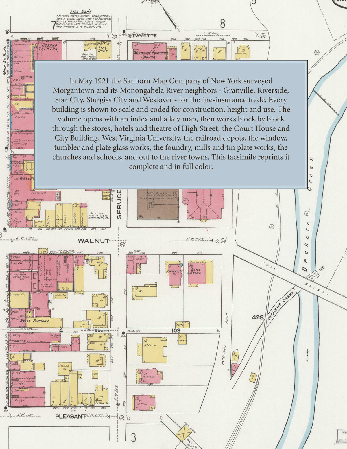
In May 1921 the Sanborn Map Company of New York surveyed Morgantown, Granville, Riverside, Star City, Sturgiss City and Westover for the fire-insurance trade, drawing the town and its Monongahela River neighbors building by building. Every building is shown to scale and color-coded for construction (yellow for frame, pink for brick, blue for stone), with heights, uses, windows, party walls, hydrants, water mains and fire stations all marked. The index lists every street and every named business, church, school, hotel, mill and works with the sheet it appears on, and the key map places the colored sheet grid over the whole city.
This edition is an unabridged facsimile republication of the atlas: the combined title and index sheet and all thirty-nine numbered map sheets, the first of them the key map with its report on the water works and fire department, covering Morgantown, Granville, Riverside, Star City, Sturgiss City and Westover. Ideal for local historians, genealogists, architects, preservationists and anyone tracing a Morgantown address back to 1921.
42 pages. 8.5" x 11". Full color. Paperback.
Printed to order and shipped directly to you — please allow up to 7 business days before shipment.
Satisfaction guaranteed or you can send it back!