1921 Fire Insurance Maps and Atlas of Amarillo, Texas, Volume 1
1921 Fire Insurance Maps and Atlas of Amarillo, Texas, Volume 1
Couldn't load pickup availability
Facsimile of the 1921 Sanborn fire-insurance atlas of Amarillo, Texas (Volume One), reproduced in full color from the Library of Congress copy. Volume One covers the central city of a place of 25,000 inside the boundary drawn on its key map: the stores, banks and hotels of Polk Street and the Potter County Court House, the Fort Worth and Denver and Santa Fe yards, the Glidden and Sanborn, Plemons, Mirror's, Holland and Eakle's additions and the South Side, with sheets north of the tracks to Amarillo Heights and the stock yards.
The sixty numbered sheets work block by block from the stores, banks and hotels along Polk, Taylor, Tyler and Fillmore Streets - the Potter County Court House and Jail, the City Hall, the Post Office, the U. S. Weather Bureau, the B. P. O. E. Temple, the Telephone Exchange, the Amarillo, Elk, Reid and Verdun hotels and the St. Charles Apartments - through the Fort Worth and Denver City, Panhandle and Santa Fe and Rock Island depots, freight houses, round houses and machine shops, the Santa Fe general offices, the street railway car barns, the light and power plant and water works pumping station, the Armour and Swift cold storage houses, the Waples-Platter, Noble Brothers and Blair and Hughes wholesale grocers, the Marrow-Thomas hardware and Roach drug houses, the International Harvester, Emerson-Brantingham, Case and Dempster implement warehouses, the Magnolia, Texas Company, Gulf, Pierce and Texhoma oil depots and the Continental Supply oil-well store, the Amarillo Mill and Elevator, Early and Kenyon grain elevators, the Long-Bell, Brazelton, Burgess and Panhandle lumber yards and planing mills, the Brown cracker and candy, Mistletoe creamery, Lane ice cream and Consumers ice plants, the laundries, the Allen oil refinery and the Western Stock Yards and packing house, to St. Anthony's Sanitorium, the Amarillo Children's Home, St. Mary's Academy, the High School, the Grammar, Wilson, Ward, West Side and North Buchanan Street schools, the First Baptist, First Christian, Polk Street Methodist, Central Presbyterian, St. Andrew's Episcopal and Catholic churches, and the residential streets of the Glidden and Sanborn, Plemons, Mirror's, Holland, Eakle's and South Side additions and Amarillo Heights.
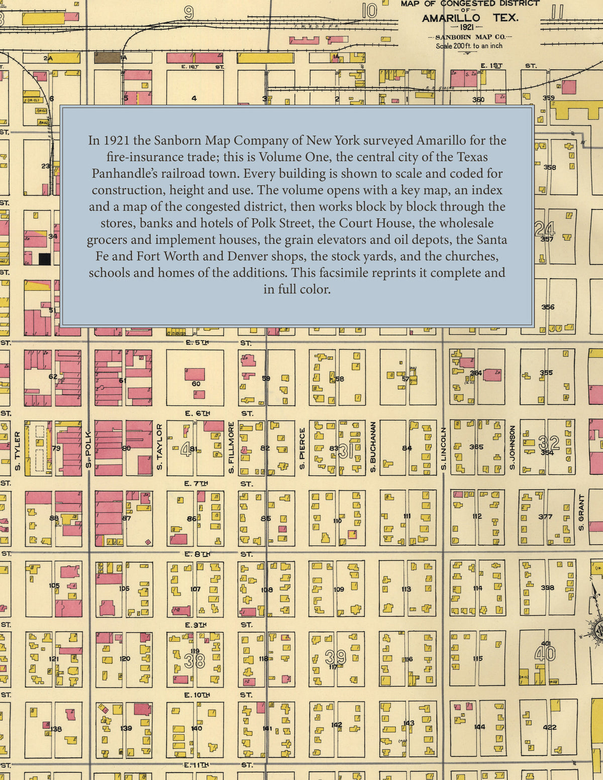
In 1921 the Sanborn Map Company of New York surveyed the central city of Amarillo for the fire-insurance trade, drawing it at fifty feet to the inch, with two outlying sheets at one hundred feet to the inch and the congested district at two hundred feet to the inch. Every building is shown to scale and color-coded for construction (yellow for frame, pink for brick, blue for stone), with heights, uses, windows, party walls, hydrants, water mains and fire stations all marked. The index lists every street and every named business, church, school, hotel, mill and works with the sheet it appears on, and the key map places the colored sheet grid over the whole city.
This edition is an unabridged facsimile republication of the atlas: the title sheet, the key map with the report, the index, the map of the congested district, and all sixty numbered map sheets of Volume One as issued (1 to 12, 17 to 26, 31 to 58, 63, 64, 69, 70, 101 to 104, 107 and 108), together with the four skeleton sheets of sheets 1 to 4. Ideal for local historians, genealogists, architects, preservationists and anyone tracing a Amarillo address back to 1921.
70 pages. 8.5" x 11". Full color. Paperback.
Printed to order and shipped directly to you — please allow up to 7 business days before shipment.
Satisfaction guaranteed or you can send it back!