1922 Fire Insurance Atlas of Gastonia, Bessemer City & Dallas, NC
1922 Fire Insurance Atlas of Gastonia, Bessemer City & Dallas, NC
Couldn't load pickup availability
Facsimile of the 1922 Sanborn fire-insurance atlas of Gastonia, North Carolina, with the mill towns of Gaston County, reproduced in full color from the Library of Congress copy. It covers the cotton-mill city of 17,000 people and its neighbours - 35,000 in all - from the stores, banks and warehouses of Main Avenue out through the Loray Mill and the dozens of spinning and weaving mills and their villages to South and West Gastonia, Ranlo, Lowell, Spencer Mountain, the county seat at Dallas and Bessemer City.
The forty-two numbered sheets work block by block from the stores, banks and halls along Main Avenue, Airline Avenue, Long Avenue and Franklin Avenue - the Post Office, the Gastonia Bonded Warehouse, the Realty Building, the telegraph office and American Express offices, the Armington Hotel and the Armington Apartments - through the Southern Railway passenger and freight depots, the Piedmont and Northern depot, the Gastonia Ice and Coal Company, the Gastonia Steam Laundry, the Suburban Gas Light Company, the Southern Cotton Oil Company's gin and the cotton yards, and the cotton mills that ring the town - the Loray Mill with its community house and churches, the Flint mills Nos. 1 and 2, the Groves, Gray, Hanover, Holland, Clara, Dunn, Arlington, Armstrong, Avon, Modena, Myrtle, Osage, Ozark, Parkdale, Peerless, Priscilla, Rankin, Ridge, Ruby, Seminole, Trenton, Victory and Winget mills, the Rex Spinning Company and the Gastonia Cotton Manufacturing Company - to the North Carolina Orthopaedic Hospital and the City Hospital, the Gastonia High School and the graded schools, the Main Street and West End Methodist, First Baptist, First Presbyterian, St. Mark's Episcopal, St. Michael's Catholic, Lutheran and A. R. P. churches, the Gastonia Country Club, the county fair grounds and the Wesleyan camp-meeting grounds, and the mill villages and streets of South Gastonia and West Gastonia, Ranlo with its mill and graded school, Lowell with the Lowell Mills Nos. 1 and 2, Spencer Mountain and its mills, the county seat at Dallas with the Gaston County Court House and Jail, and Bessemer City with its cotton mills, City Hall, schools and churches.
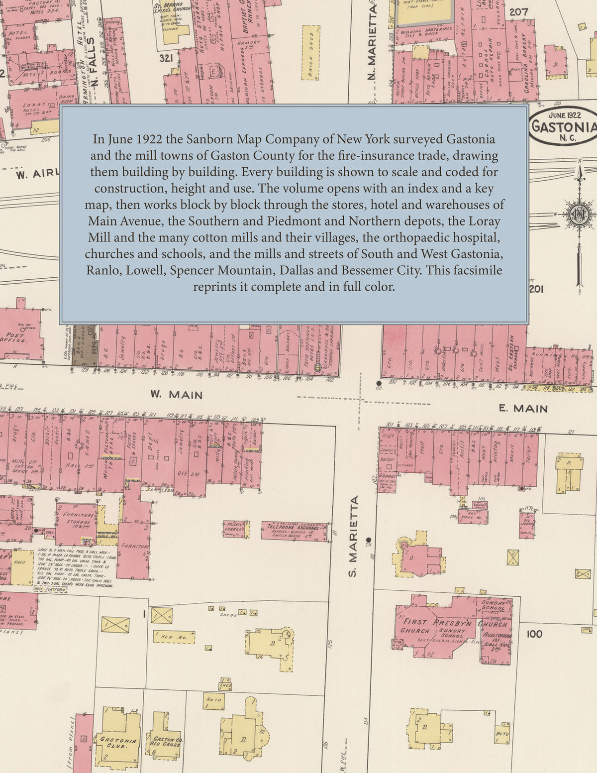
In June 1922 the Sanborn Map Company of New York surveyed Gastonia and the mill towns around it for the fire-insurance trade, drawing the business district at fifty feet to the inch and the mill villages and outlying towns at one hundred feet to the inch. Every building is shown to scale and color-coded for construction (yellow for frame, pink for brick, blue for stone), with heights, uses, windows, party walls, hydrants, water mains and fire stations all marked. The index lists every street and every named business, church, school, hotel, mill and works with the sheet it appears on, and the key map places the colored sheet grid over the whole city.
This edition is an unabridged facsimile republication of the atlas: all forty-two numbered map sheets, the first of them the title sheet, index and key map with the report on the water works and fire department, covering Gastonia, South Gastonia, West Gastonia, Ranlo, Lowell, Dallas, Spencer Mountain and Bessemer City. Ideal for local historians, genealogists, architects, preservationists and anyone tracing a Gastonia address back to 1922.
44 pages. 8.5" x 11". Full color. Paperback.
Printed to order and shipped directly to you — please allow up to 7 business days before shipment.
Satisfaction guaranteed or you can send it back!