1922 Fire Insurance Maps and Atlas of Arlington, Massachusetts
1922 Fire Insurance Maps and Atlas of Arlington, Massachusetts
Couldn't load pickup availability
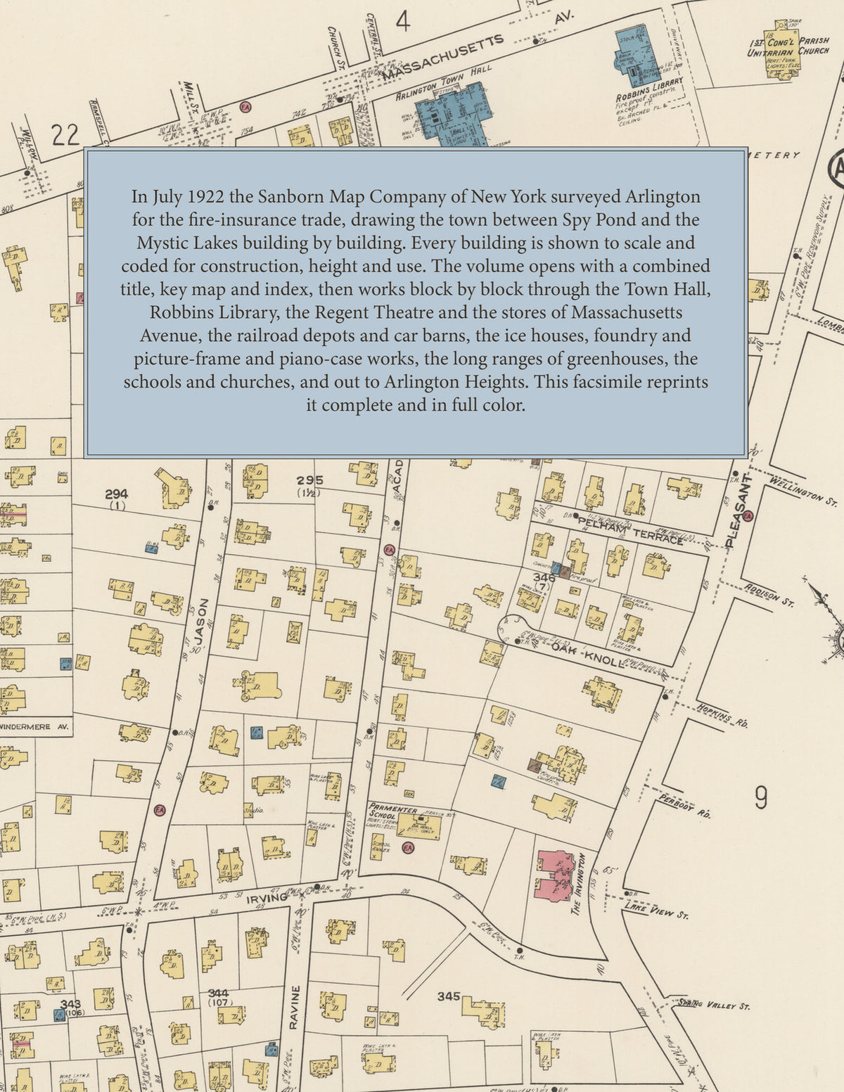
Facsimile of the 1922 Sanborn fire-insurance atlas of Arlington, Massachusetts, reproduced in full color from the Library of Congress copy. It covers the whole Middlesex County town of 20,000 people between Spy Pond and the Mystic Lakes, from the Town Hall, Robbins Library and the stores of Massachusetts Avenue in Arlington Centre out along the Boston and Maine Railroad to the ice houses, foundry, machine shops and picture-frame and piano-case works, the market-garden greenhouses, the schools, churches and residential streets, and Arlington Heights.
The thirty-three numbered sheets that follow work block by block from the stores and offices along Massachusetts Avenue, Broadway and Medford Street in Arlington Centre - the Arlington Town Hall, the Robbins Library, the Police Station, the post offices, the Telephone Exchange, the Regent Theatre, the G. A. R. and A. O. H. halls, the Irvington Apartments, the two fire stations, and the garages of the motor age - through the Boston and Maine depots at Water Street, Lake Street, Brattle Street and Arlington Heights, the Boston Elevated car barns and transfer station, the Arlington Gas Light works, the Arlington and Belmont and Cambridge ice houses on Spy Pond, the Arlington Foundry and Machine Works, the Crane Puller and Phillips machine shops, the Schwamb picture-frame and piano-case works, the Foster mirror works, the Huff graphite works, the Solvent Products and Frost Insecticide companies, the Dale cordage works, the box mills, the cement-block works, the jewelry shop, the coal, lumber and building-material yards, the laundries and dairy, the Metropolitan Water Works and the Town Yard, the United States Entomological Laboratory, and the long greenhouse ranges of the Allen, Anderson, Crosby, Cutter, Hill, Hines, Lenk, Mead, Moore, Purcell, Tappan and Wyman growers, to the Symmes Arlington Hospital, Dr. Rings Sanitorium, St. John's Home for Little Children, the Arlington High School, the Junior Centre High School, Mary Cliff Academy and the Cotter, Crosby, Locke, Parmenter and Russell schools, St. Agnes church, school and convent, St. James, the Unitarian, Congregational, Episcopal, Universalist, Baptist and Methodist churches, the Spy Pond Play Ground, the Winchester Country Club, and the residential streets out to Arlington Heights and the Mystic Lakes.
In July 1922 the Sanborn Map Company of New York surveyed Arlington for the fire-insurance trade, drawing the business blocks of Arlington Centre at fifty feet to the inch and the residential streets and Arlington Heights at one hundred feet to the inch. Every building is shown to scale and color-coded for construction (yellow for frame, pink for brick, blue for stone), with heights, uses, windows, party walls, hydrants, water mains and fire stations all marked. The index lists every street and every named business, church, school, hotel, mill and works with the sheet it appears on, and the key map places the colored sheet grid over the whole city.
This edition is an unabridged facsimile republication of the atlas: all thirty-four numbered map sheets, 1 to 34, sheet 1 being the combined title, key map and index sheet with its report on the water works and fire department, the others covering the town from Arlington Centre and Massachusetts Avenue to Spy Pond, the Mystic Lakes, the greenhouses and Arlington Heights. Ideal for local historians, genealogists, architects, preservationists and anyone tracing a Arlington address back to 1922.
36 pages. 8.5" x 11". Full color. Paperback.
Printed to order and shipped directly to you — please allow up to 7 business days before shipment.
Satisfaction guaranteed or you can send it back!