1922 Fire Insurance Maps and Atlas of Framingham, Massachusetts
1922 Fire Insurance Maps and Atlas of Framingham, Massachusetts
Couldn't load pickup availability
Facsimile of the 1922 Sanborn fire-insurance atlas of Framingham, Massachusetts, reproduced in full color from the Library of Congress copy. It covers the Middlesex County town of 17,000 people on the Sudbury River, from the stores, banks and theatres of the business district, the Boston & Albany depots and the Dennison works out along Waverly Street and Union Avenue to Farm Pond, the residential streets around Larned and Waushakum ponds, Framingham Centre with the State Normal School, and the mill village of Saxonville.
The twenty-four numbered sheets that follow work block by block from the stores, banks and offices along Concord Street, Waverly Street, Union Avenue, Howard Street and Kendall Street - the Memorial Library, the Police Station, the Post Office, the Odd Fellows, Smith, Fitts and Wilsonia blocks, the National Bank, Concord, Mansion, Tribune, Victory and Bullard buildings, the Gorman and St. George theatres, the Casino, Columbia Hall, the Elks' Home, the State Arsenal, Hotel Kendall, the Winthrop Hotel and the Old Colony, Central and Wheeler houses - through the Boston & Albany depots and locomotive house, the New Haven Union Passenger Depot and freight depot, the Boston & Worcester street railway power station and car barn, the Edison Electric sub-station, the water-works pumping station, the Dennison Manufacturing Company's paper tag, box and sealing-wax works, the Archer Strauss, Carr and Strauss rubber works, the Cameo phonograph-record factory, the R. H. Long auto-body and shoe works, the Baker shoe-nail and Auburn last factories, the Carter underwear factory, the Young & Holberton straw-hat factory, the Gurney Heating, International Engineering and Manufacturing Equipment works, the Framingham foundries, screw and pattern works, the White-Wilde Asbestos Company, the Williams & Bridges box factory, the Revere Confectionery Company, the Wood grist mill, the Cushing grain elevator and the coal and lumber yards, to the Union Avenue Hospital, the Framingham Hospital, the Home for the Aged, the Children's Health Camp, the High School, the Hollis, Lincoln, Loker, Arlington Street and Temple Street schools, the State Normal School buildings, the Town Hall at Framingham Centre, the Catholic, Episcopal, Baptist, Congregational, Methodist and Universalist churches and the synagogues, and the residential streets of the town, Framingham Centre and Saxonville with its rug and carpet mills.
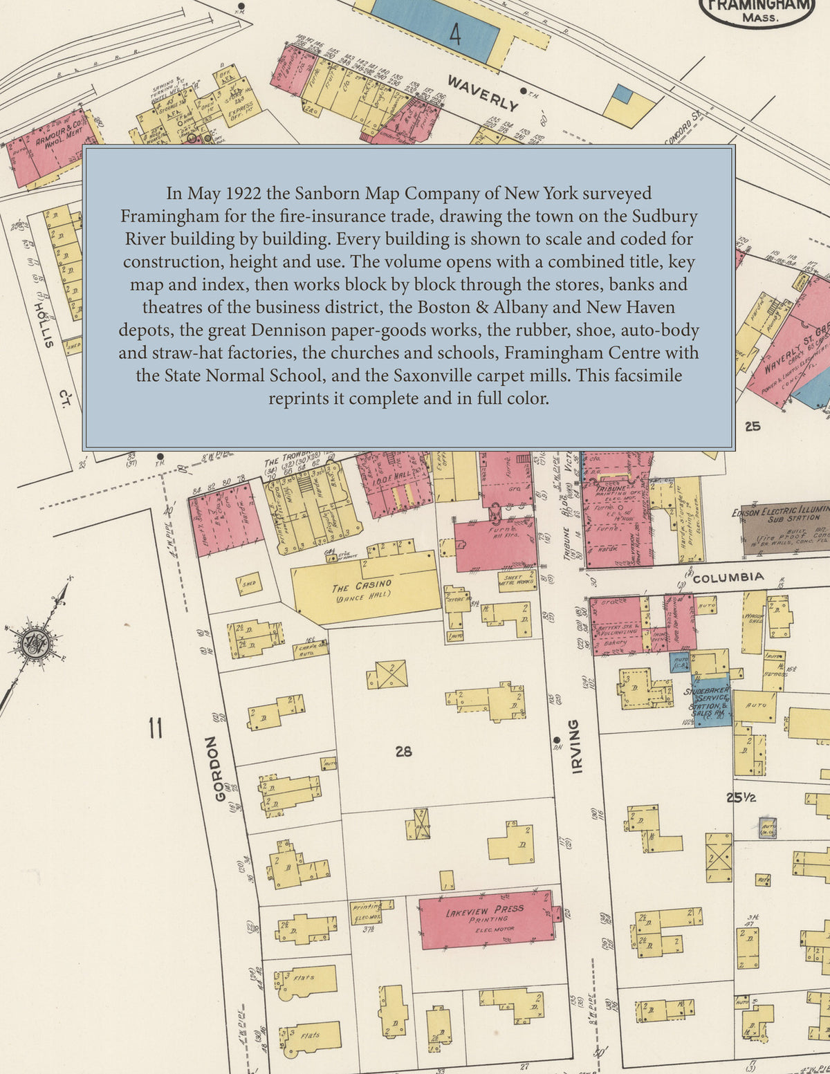
In May 1922 the Sanborn Map Company of New York surveyed Framingham for the fire-insurance trade, drawing the town building by building. Every building is shown to scale and color-coded for construction (yellow for frame, pink for brick, blue for stone), with heights, uses, windows, party walls, hydrants, water mains and fire stations all marked. The index lists every street and every named business, church, school, hotel, mill and works with the sheet it appears on, and the key map places the colored sheet grid over the whole city.
This edition is an unabridged facsimile republication of the atlas: all twenty-five map sheets, 1 to 25, sheet 1 being the combined title, key map and index sheet with its report on the water facilities and fire department, the others covering the town from the business district, the Dennison works and the railroad depots out to Farm Pond, Framingham Centre and the State Normal School, and Saxonville. Ideal for local historians, genealogists, architects, preservationists and anyone tracing a Framingham address back to 1922.
32 pages. 8.5" x 11". Full color. Paperback.
Printed to order and shipped directly to you — please allow up to 7 business days before shipment.
Satisfaction guaranteed or you can send it back!