1923 Fire Insurance Atlas of Tarboro & Princeville, North Carolina
1923 Fire Insurance Atlas of Tarboro & Princeville, North Carolina
Couldn't load pickup availability
Facsimile of the 1923 Sanborn fire-insurance atlas of Tarboro and Princeville, North Carolina, reproduced in full color from the Library of Congress copy. It covers the Edgecombe County seat of 6,500 people on the Tar River, from the Court House and the stores, banks and hotels of Main Street out along the Atlantic Coast Line and East Carolina railroads to the cotton mills, tobacco warehouses, gins and oil mills, the residential streets and the Fair Grounds, and the town of Princeville across the river.
The Tarboro sheets, 2 to 23, work block by block from the stores, banks and offices along Main Street, St. James Street, Pitt Street, Granville Street, Church Street and Wilson Street - the Edgecombe County Court House and Jail, the City Hall and Fire Station No. 1, the Armory, the Post Office, the Telephone Exchange, the Colonial Theatre, the New Farrar Hotel and the Tarboro House - through the Atlantic Coast Line depots, the East Carolina Railroad depot, repair shops and warehouse, the American Railway Express office, the Hart Cotton Mills, the Fountain Cotton Mills, the Runnymede hosiery mill, the old Tarboro Cotton Factory, the Tarboro Knitting and Ginning companies, the Farmers, Clarks and Co-operative tobacco warehouses, the Ferguson, Stigal and Taylor tobacco prizeries and storage, the Southern Cotton Oil, Consumers Cotton Oil and Columbian Peanut companies, the Royster fertilizer works, the Red Gum Veneer Company, the Davis and Henry lumber yards and saw mills, the Enterprise Carriage Company, the Coca-Cola, Pepsi-Cola and other bottling works, the Tarboro Ice and Fuel Company, the City Electric Plant and Water Works and the Standard and Jenkins oil companies, to the Edgecombe General Hospital, the Tarboro Graded School and Annex, the Graded School (Colored), Calvary Episcopal Church and the Cheshire Memorial Parish House, St. James Methodist, First Baptist, Presbyterian and Roman Catholic churches, the Synagogue, the colored Baptist, Methodist, Episcopal and A. M. E. Zion churches, the Edgecombe County Fair Grounds and race track, and the residential streets out to Hendricks Creek. The Princeville sheet, 24, shows the Royster guano works, the Edgecombe Gin and storage warehouse, the Davis lumber yard and Harris saw mill, the Tar River Oil Company, the Hammond Hotel, the Prince Chapel A. M. E. Zion and St. John's Missionary Baptist churches and the Princeville Graded School.
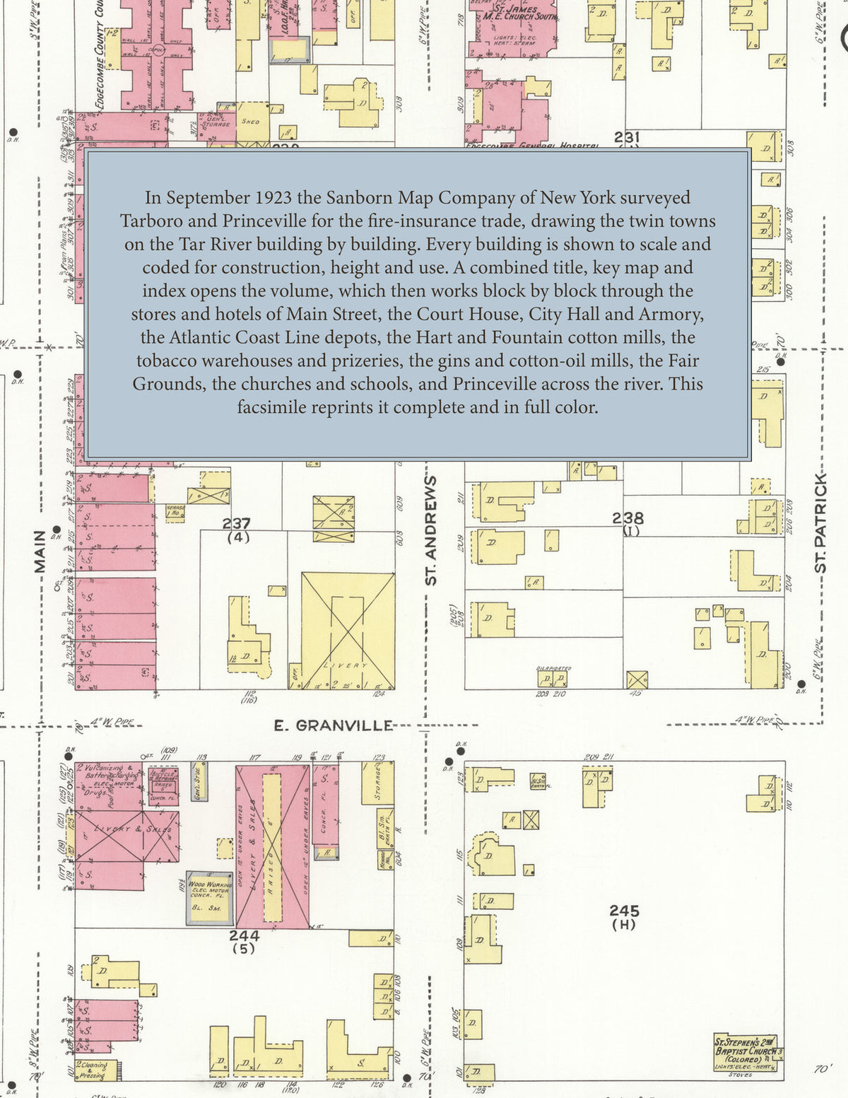
In September 1923 the Sanborn Map Company of New York surveyed Tarboro and Princeville for the fire-insurance trade, drawing the town at fifty feet to the inch and the outlying mill and warehouse districts and Princeville at one hundred feet to the inch. Every building is shown to scale and color-coded for construction (yellow for frame, pink for brick, blue for stone), with heights, uses, windows, party walls, hydrants, water mains and fire stations all marked. The index lists every street and every named business, church, school, hotel, mill and works with the sheet it appears on, and the key map places the colored sheet grid over the whole city.
This edition is an unabridged facsimile republication of the atlas: all twenty-four map sheets, 1 to 24, sheet 1 being the combined title, key map and index sheet with its report on the water facilities and fire department, sheets 2 to 23 covering Tarboro from the business district on Main Street out to the cotton mills, tobacco warehouses and the Fair Grounds, and sheet 24 covering Princeville across the Tar River. Ideal for local historians, genealogists, architects, preservationists and anyone tracing a Tarboro address back to 1923.
32 pages. 8.5" x 11". Full color. Paperback.
Printed to order and shipped directly to you — please allow up to 7 business days before shipment.
Satisfaction guaranteed or you can send it back!