1923 Fire Insurance Atlas of Wakefield & Greenwood, Massachusetts
1923 Fire Insurance Atlas of Wakefield & Greenwood, Massachusetts
Couldn't load pickup availability
Facsimile of the 1923 Sanborn fire-insurance atlas of Wakefield and Greenwood, Massachusetts, reproduced in full color from the Library of Congress copy. It covers the Middlesex County town of 15,000 people, from the Town Hall and the stores, banks, hotels and theatres of Main Street out along the Boston and Maine Railroad to the rattan, reed-furniture, knitting and foundry works, the schools, churches and residential streets around Lake Quannapowitt and Crystal Lake, Montrose, and the village of Greenwood on the Melrose line.
The thirty numbered sheets that follow work block by block from the stores, banks and offices along Main Street, Albion Street, Water Street and Richardson Avenue - the Wakefield Town Hall, the Post Office, the Lucius Beebe Memorial Library, the Armory, the Taylor, Richardson and Perkins buildings, the Wakefield and Princess theatres, the G. A. R. Hall, the Elks Home, the Y. M. C. A. Building, the Wakefield Daily Item printing office, Ye Barnard Inn, the Central Fire Station, the Town Barns and the Main Street, Barney's and Wakefield garages - through the Boston and Maine Wakefield Centre, Junction and Greenwood depots, the Heywood-Wakefield Company's rattan goods works, the Jordan Wakefield and American Reed and Willow reed-furniture factories, the Harvard, Winship-Boit and Middlesex knitting mills, the Henry F. Miller and Sons piano factory, the Gibby Foundry, the Massachusetts Oilless Bearing, Lead Lined Iron Pipe, Sanitas, Oxidite paint and Morrison-Skinner screen-door companies, the L. B. Evans' Son shoe factory, the Steel Specialties and Belcher machine shops, the Magee pattern shop, the Wakefield Novelty Works and Paper Box Company, the Crescent wet-wash laundry, the Curley Bros. grain elevator, the Knox, Locke and Hickey lumber, coal and wood yards, the Wakefield Coal Supply and Melrose coal companies, the Morrill-Atwood, Porter-Milton, Reading Citizens, Wakefield and Boston ice houses on Lake Quannapowitt, the Wakefield Municipal Light Plant and the town water works pumping station on Crystal Lake, to the Elizabeth E. Boit Home for Aged Women, the Wakefield High School, the Franklin, Lincoln, Warren, Hurd, Greenwood and Prospect Street schools, St. Joseph's Catholic Church, the Baptist, Congregational, Methodist, Universalist and Immanuel Episcopal churches, the Italian Baptist chapel and church, the Greenwood Union Church, the De Vita conservatories and Barry greenhouses, and the residential streets around Lake Quannapowitt and Crystal Lake, Montrose and Greenwood.
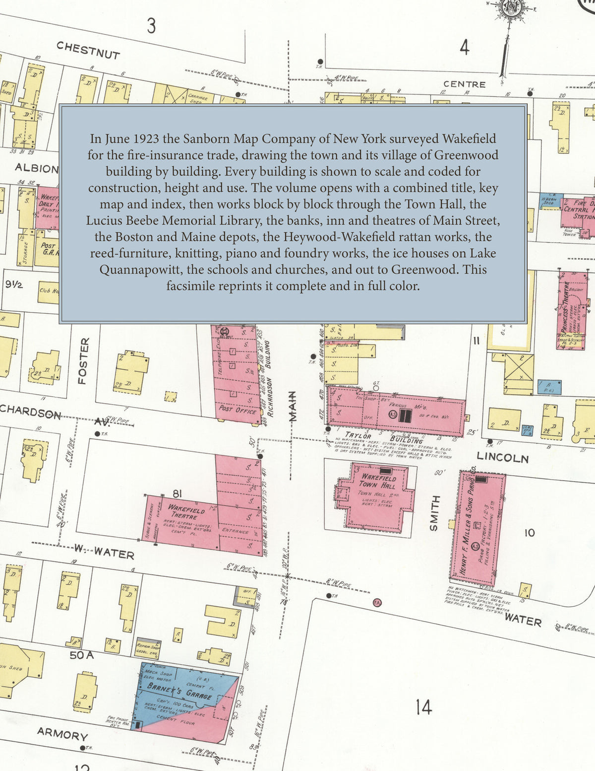
In June 1923 the Sanborn Map Company of New York surveyed Wakefield and Greenwood for the fire-insurance trade, drawing the business district at fifty feet to the inch and the outer streets and Greenwood at one hundred feet to the inch. Every building is shown to scale and color-coded for construction (yellow for frame, pink for brick, blue for stone), with heights, uses, windows, party walls, hydrants, water mains and fire stations all marked. The index lists every street and every named business, church, school, hotel, mill and works with the sheet it appears on, and the key map places the colored sheet grid over the whole city.
This edition is an unabridged facsimile republication of the atlas: all thirty-one numbered map sheets, 1 to 31, sheet 1 being the combined title, key map and index sheet with its report on the water works and fire department, the others covering the town from the business district on Main Street to the rattan and knitting works, the shores of Lake Quannapowitt and Crystal Lake, Montrose and the village of Greenwood. Ideal for local historians, genealogists, architects, preservationists and anyone tracing a Wakefield address back to 1923.
32 pages. 8.5" x 11". Full color. Paperback.
Printed to order and shipped directly to you — please allow up to 7 business days before shipment.
Satisfaction guaranteed or you can send it back!