ExileBooks
1927 Sanborn Fire Insurance Maps of Barberton, Ohio
1927 Sanborn Fire Insurance Maps of Barberton, Ohio
Couldn't load pickup availability
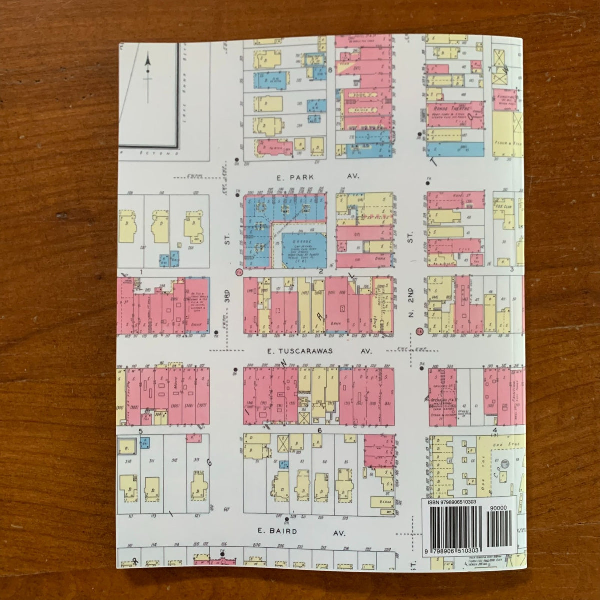
This volume is a complete color facsimile of the Sanborn Map Company's fire insurance atlas of Barberton, Ohio, published in New York in February 1927. All thirty-eight sheets of the original edition are reproduced here in full color, preserving the Sanborn color key that distinguishes brick, frame, stone, and fireproof construction at a glance.
Surveyed at the height of Barberton's industrial boom, when the "Magic City" counted 23,000 residents, the atlas documents the town building by building: street addresses, construction materials, building heights and uses, business names, water mains, and fire hydrants. The great industrial plants that defined Barberton appear in remarkable detail, including the Diamond Match Company's Barberton Factory, the Babcock & Wilcox Company Boiler and Shell Works, the Pittsburgh Plate Glass Company's Columbia Chemical Division, the Ohio Insulator Company, the Sun Rubber Company, and the Seiberling Rubber Company. Coverage extends through the downtown blocks around Lake Anna, the residential allotments, the Ohio Canal and the Erie and B&O railroad corridors, and outward to Johnson Corners and the edge of the Village of Kenmore. A full street and specials index on the title sheet locates every church, school, factory, and allotment.
An essential reference for genealogists, house historians, and collectors of Summit County history.
40 pages. 8.5" x 11". Full color. Paperback.
Satisfaction guaranteed or you can send it back!