1930 Fire Insurance Atlas of Trinidad, CO and Vicinity
1930 Fire Insurance Atlas of Trinidad, CO and Vicinity
Couldn't load pickup availability
Facsimile of the 1930 Sanborn fire-insurance atlas of Trinidad, Colorado, reproduced in full color from the Library of Congress copy. It covers the whole Las Animas County seat of 15,000 people on the Purgatoire River, from City Hall, the Court House and the stores, hotels and theatres of Main and Commercial Streets out through the Santa Fe, Colorado and Southern and Denver and Rio Grande Western depots and the mills, warehouses and works along the tracks, to the hospital, the residential additions on both sides of the river, Kit Carson Park and the Fair Grounds, and the coal towns of El Moro, Jerryville or Farrelville, St. Thomas, Sopris and Starkville.
The thirty-six numbered sheets that follow work block by block from the stores, banks and offices along Main and Commercial Streets - City Hall, the Las Animas County Court House and Jail, the Post Office, the Carnegie Public Library, the Masonic Temple, the B. P. O. E. Club, the Kit Carson Museum, the Mountain States Telephone exchange, the telegraph office, the West Theatre, and the Grand, Colonial, Corinado, Toltec, Columbian, Bellevue and Cardenas hotels - through the Atchison, Topeka and Santa Fe freight depot and locomotive house, the Colorado and Southern depots and division office, the Denver and Rio Grande Western depot, the wholesale grocery, grain, drug and candy houses, the oil warehouses and refining station, the Trinidad Foundry and Machine Company, the Schneider brewery and ice plant, the Trinidad Creamery, the Golden Crown and Scavarda macaroni factories, the Pavetti sausage works, the Mullins mattress factory, the Trinidad Carriage Company, the Williams and Messer cinder block factory, the lumber and coal yards, the gas plant, the light and power plant and the water works pumping station, to St. Raphael Hospital, the Trinidad Public High School, the Colorado State College of Business, the Columbian, Centennial, Park Street, Rice, East Street and Santa Fe schools, Holy Trinity and Mt. Carmel Catholic churches, the Presbyterian, Methodist, Episcopal, Lutheran, Baptist, Christian, Congregational and Nazarene churches, Aaron Congregation Synagogue, Trinidad Central Park, Kit Carson Park, the Elks Park and County Fair Grounds, and the residential additions out to the Trinidad Brick and Tile kilns and the coal towns of El Moro, Jerryville or Farrelville, St. Thomas, Sopris and Starkville.
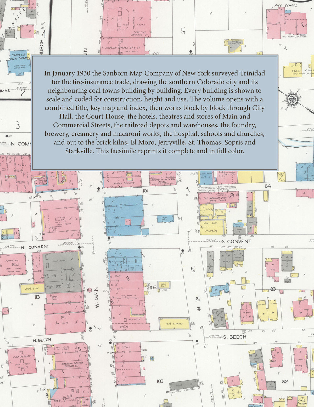
In January 1930 the Sanborn Map Company of New York surveyed Trinidad and five neighbouring coal towns for the fire-insurance trade, drawing them building by building. Every building is shown to scale and color-coded for construction (yellow for frame, pink for brick, blue for stone), with heights, uses, windows, party walls, hydrants, water mains and fire stations all marked. The index lists every street and every named business, church, school, hotel, mill and works with the sheet it appears on, and the key map places the colored sheet grid over the whole city.
This edition is an unabridged facsimile republication of the atlas: all thirty-seven numbered map sheets, 1 to 37, sheet 1 being the combined title, key map and index sheet with its report on the water works and fire department, the last two covering El Moro, St. Thomas, Sopris, Jerryville and Starkville. Ideal for local historians, genealogists, architects, preservationists and anyone tracing a Trinidad address back to 1930.
38 pages. 8.5" x 11". Full color. Paperback.
Printed to order and shipped directly to you — please allow up to 7 business days before shipment.
Satisfaction guaranteed or you can send it back!