ExileBooks
Railroad Depots of the Colorado Narrow Gauge, Volume 2
Railroad Depots of the Colorado Narrow Gauge, Volume 2
Couldn't load pickup availability
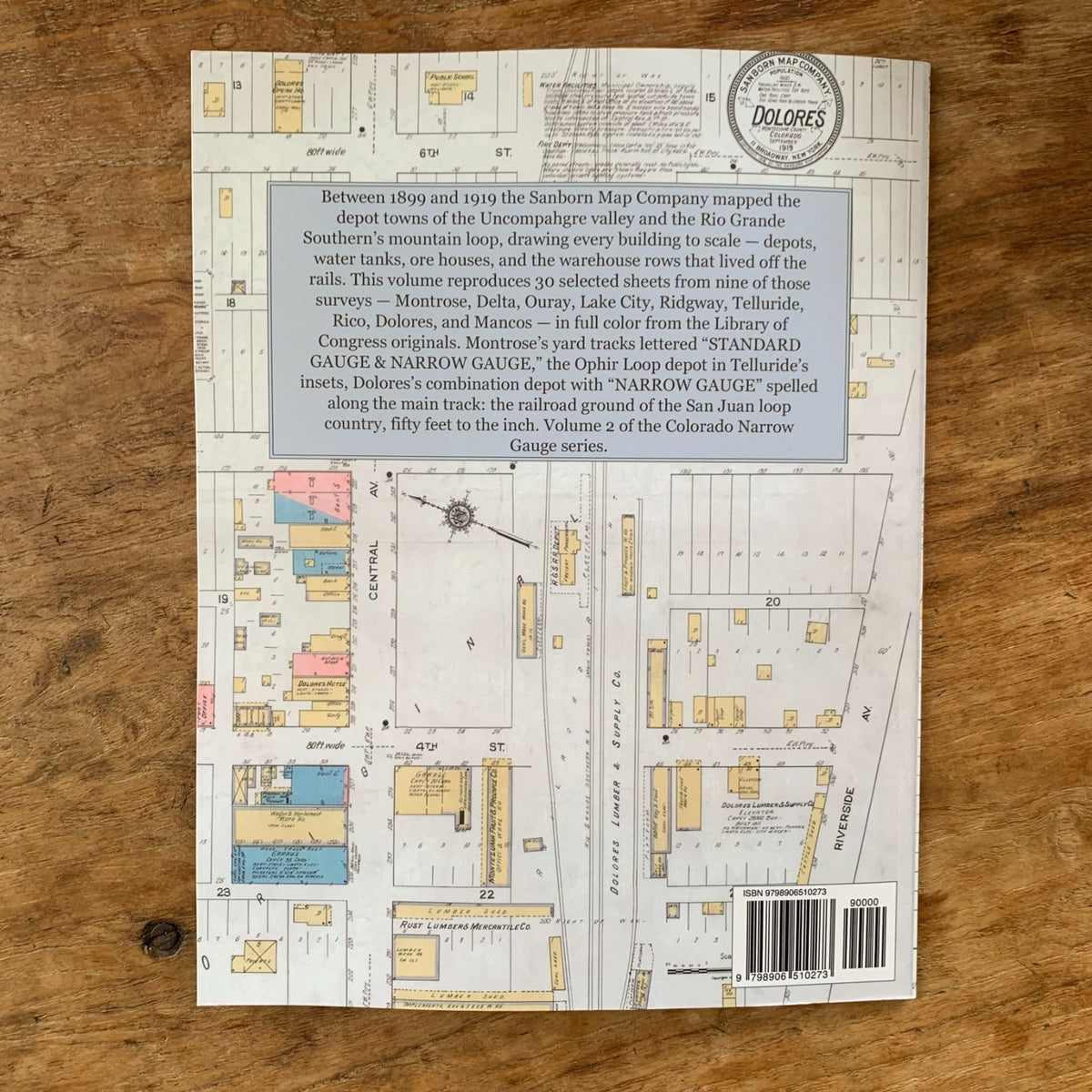
Between 1899 and 1919 the Sanborn Map Company mapped the depot towns of Colorado's Uncompahgre valley and the Rio Grande Southern's mountain loop, drawing every building at fifty feet to the inch for fire insurance underwriters. This volume reproduces 30 selected sheets from nine of those surveys in full color from the Library of Congress originals — the sheets that show each town's railroad ground: depots, water tanks, ore houses, sampling works, and the warehouse rows that lived off the rails. The complete surveys ran to more sheets than are reproduced here; this volume presents the railroad core of each.
The towns are Montrose, Delta, Ouray, Lake City, Ridgway, Telluride, Rico, Dolores, and Mancos. Montrose's yard tracks are lettered "STANDARD GAUGE & NARROW GAUGE" on the map itself, between facing freight and passenger depots. Telluride's fourteen-sheet survey is effectively a five-town atlas, its insets carrying depots at the Ophir Loop and Placerville along with Telluride's own depot grounds. Ouray's outlying sheets reach the mines of Ironton and Red Mountain on sidings lettered "Silverton & Red Mountain R.R." Dolores's combination depot faces its shipper row with "NARROW GAUGE" spelled along the main track, and Rico's 1899 survey — made under the Sanborn-Perris imprint — records a mining district's ore houses and sampling works, nearly all marked "not running." Every sheet is reproduced without enhancement from the Library of Congress scans, with the original color key — yellow for frame, pink for brick, blue for stone — intact.
Volume 2 of the Railroad Depots of the Colorado Narrow Gauge series: an essential reference for model railroaders, railroad historians, and collectors of Colorado history.
48 pages. 8.5" x 11". Full color. Paperback.
Satisfaction guaranteed or you can send it back!