ExileBooks
Sanborn Fire Insurance Maps of Charleston, South Carolina (1884 & 1888)
Sanborn Fire Insurance Maps of Charleston, South Carolina (1884 & 1888)
Couldn't load pickup availability
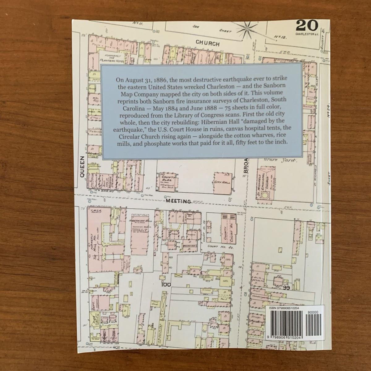
This volume reprints, complete and in full color, both of the Sanborn Map and Publishing Company's nineteenth-century fire insurance surveys of Charleston, South Carolina: the twenty-five sheets of May 1884 and the fifty sheets of June 1888. The maps are reproduced as unaltered facsimiles from the high-resolution scans preserved by the Geography and Map Division of the Library of Congress, with the original hand-applied color coding intact — yellow for frame construction, pink for brick, blue for stone.
Drawn at fifty feet to the inch, the sheets record every building in the city to its footprint, with notes on roofs, walls, boilers, watchmen, and firefighting water. The 1884 survey maps the old city at full tide: the cotton presses and factors' offices on Adger's and Boyce's wharves, the West Point and Bennett's rice mills, and the phosphate and guano works that paid Charleston's way after the war. Between the surveys came the earthquake of August 31, 1886 — the most destructive ever to strike the eastern United States — and the doubled 1888 edition is its damage report: Hibernian Hall under a temporary board roof, the United States Court House drawn as ruins, the Circular Church being rebuilt, and canvas hospital tents still pitched in the yard of Agricultural Hall. The Charleston Hotel, the Mills House, the old Planters Hotel (today's Dock Street Theatre), the Citadel on Marion Square, and the U.S. Custom House all appear, along with the German groceries and breweries and the churches of Black Charleston.
Trace a single address across both editions and watch the city rebuild, sheet by sheet — an essential reference for genealogists, house historians, and collectors of Charleston history.
80 pages. 8.5" x 11". Full color. Paperback.
Satisfaction guaranteed or you can send it back!